McKenzie River Stops

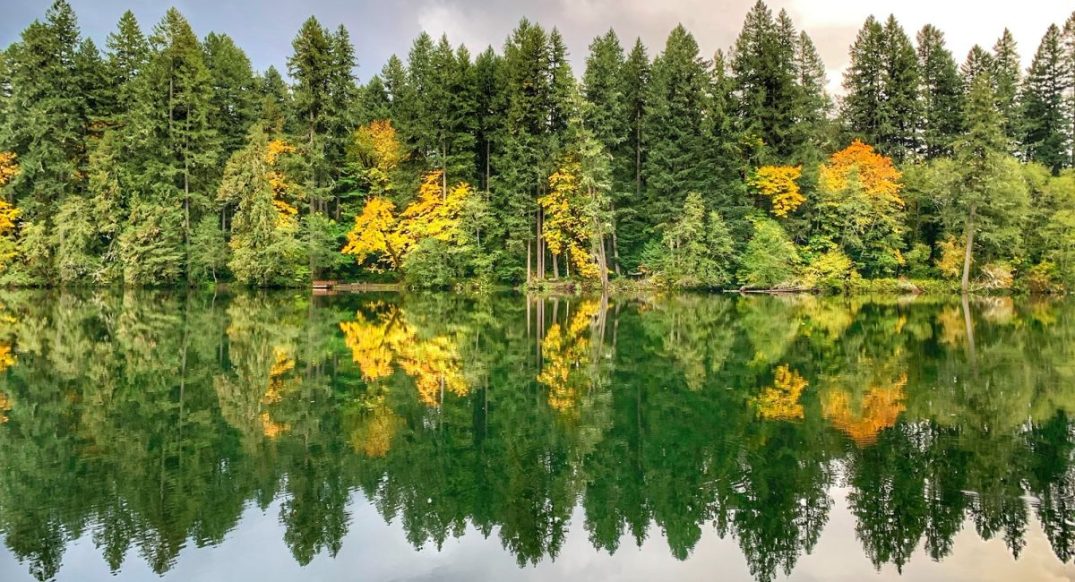
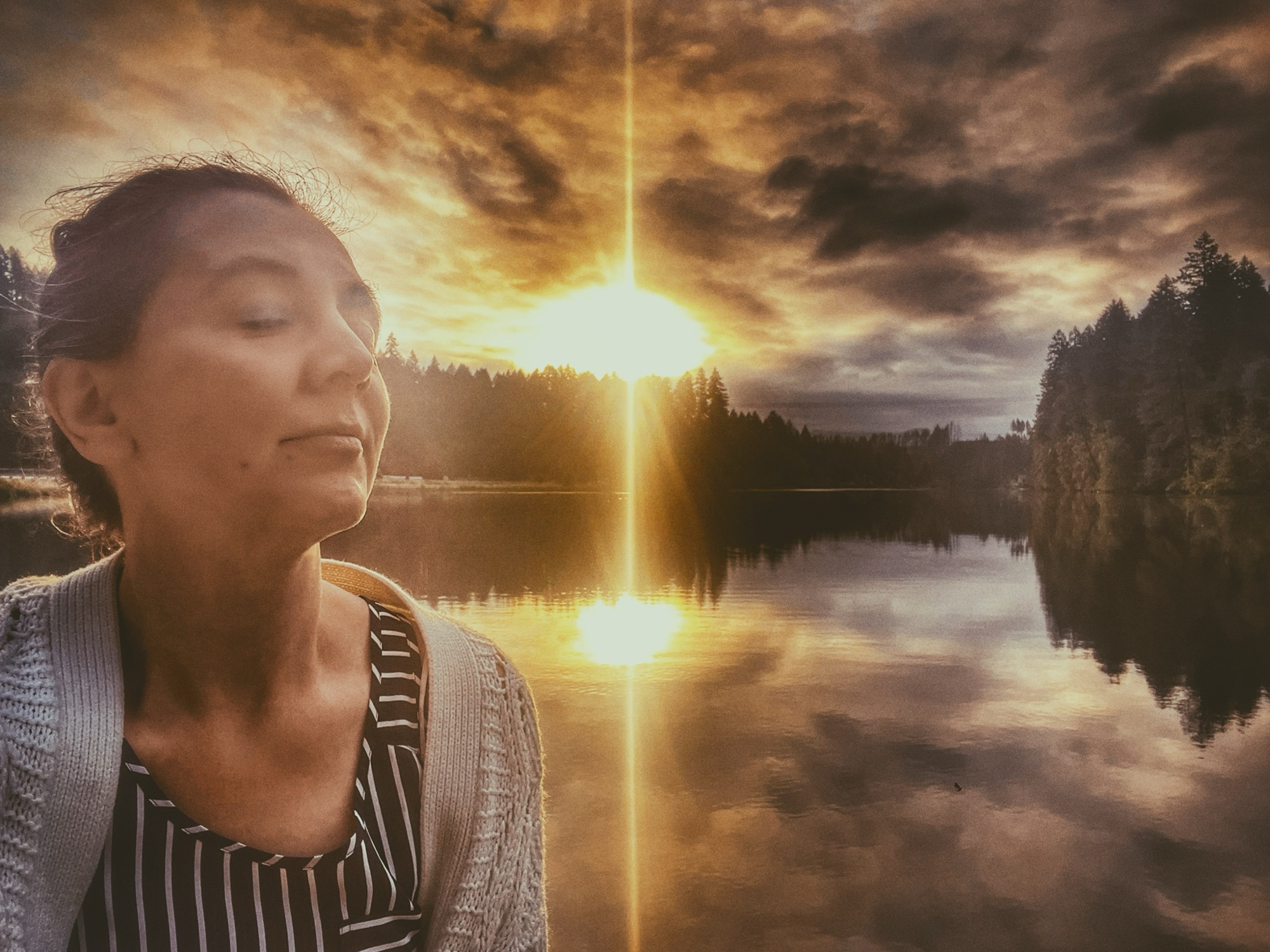
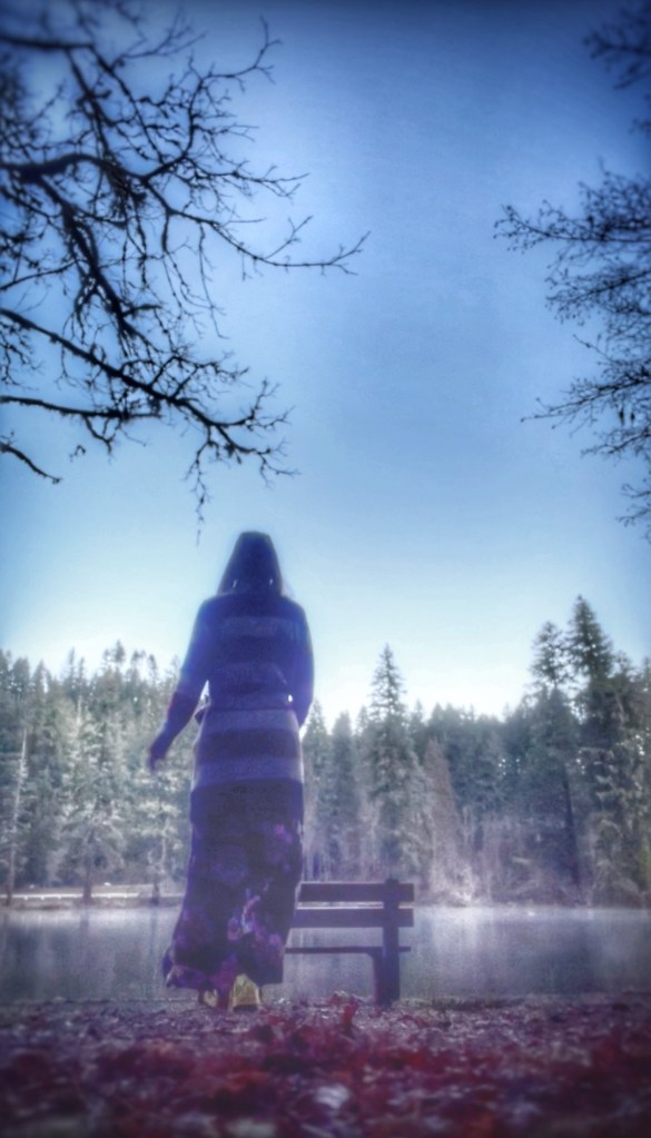
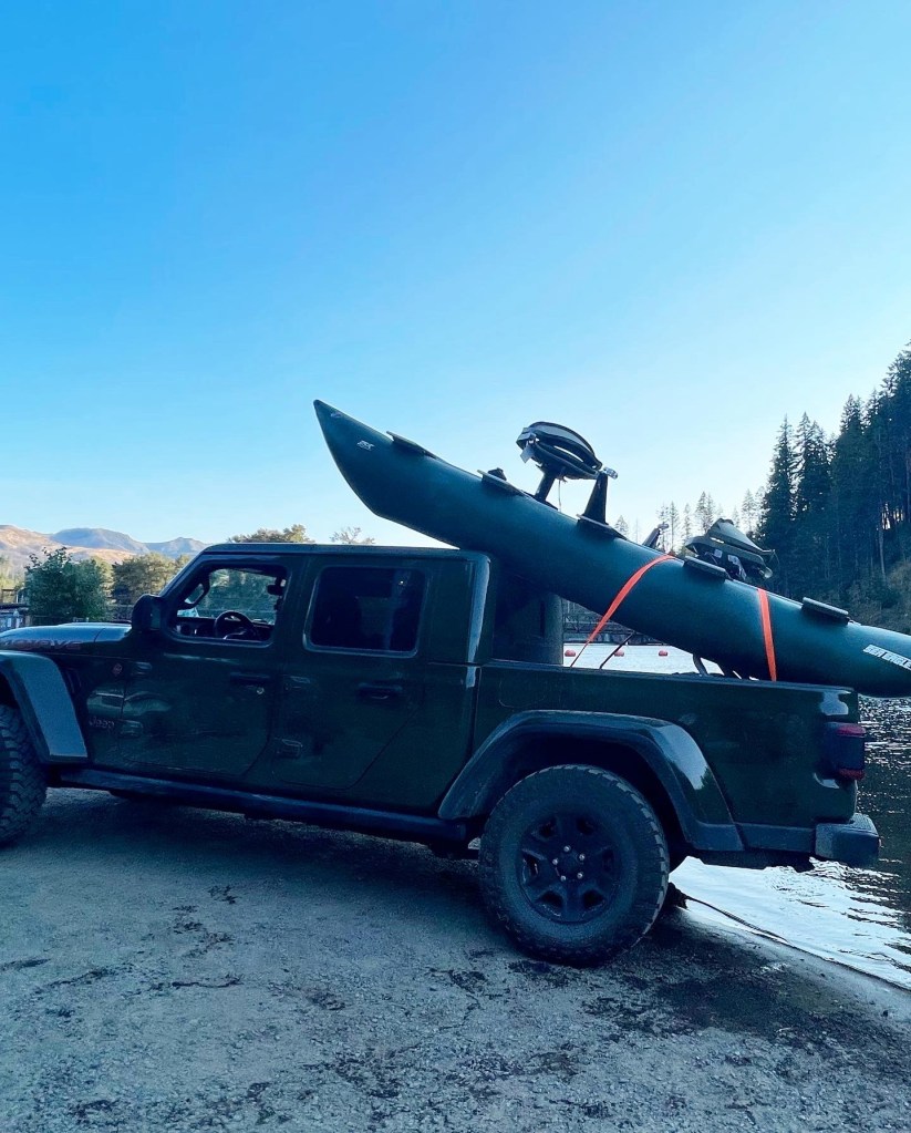
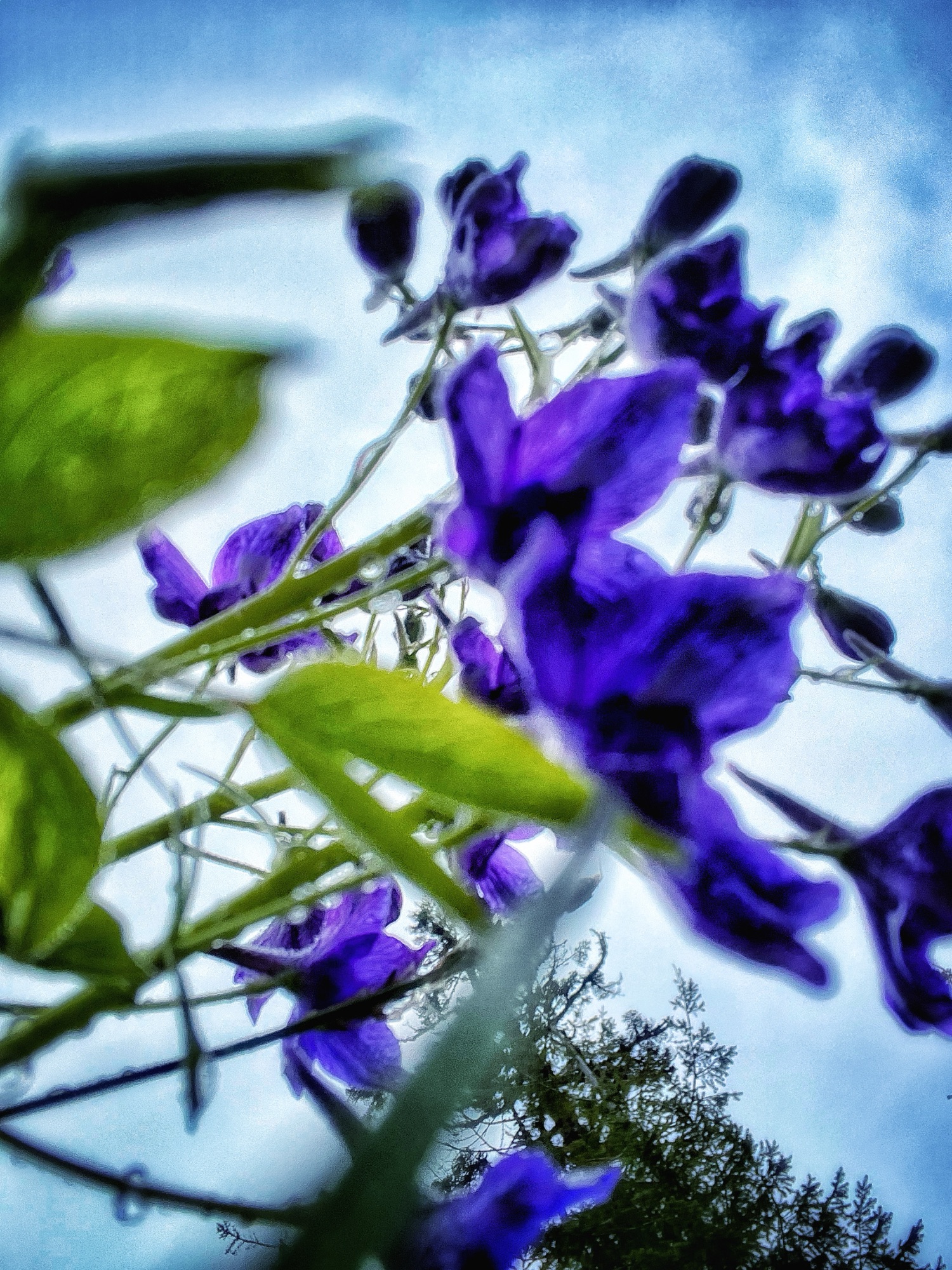
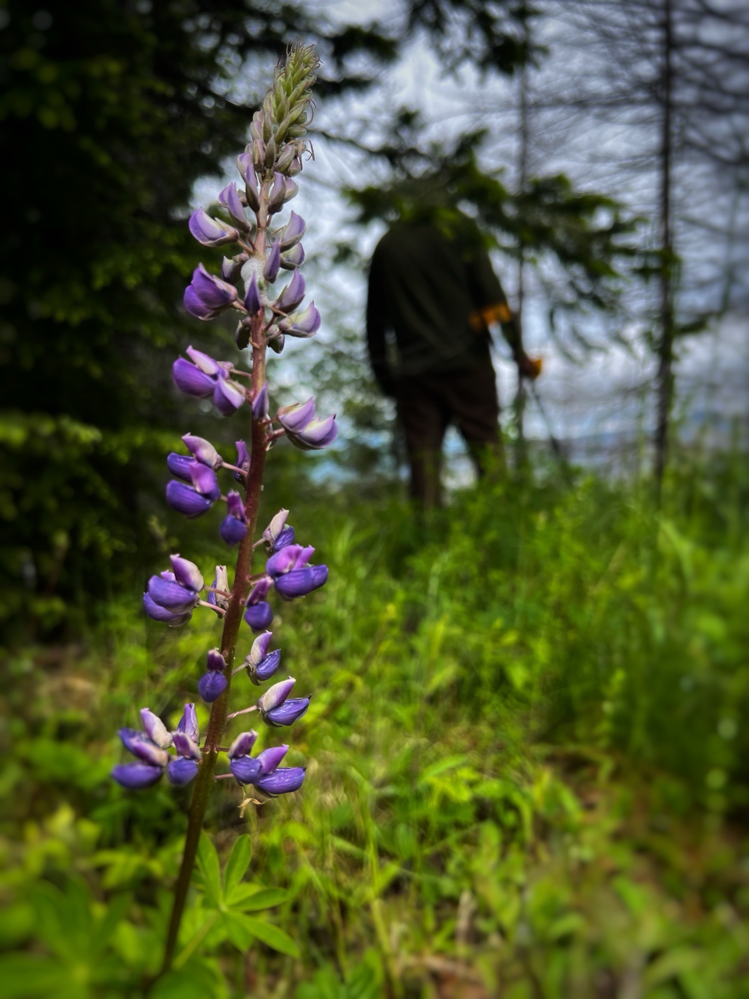
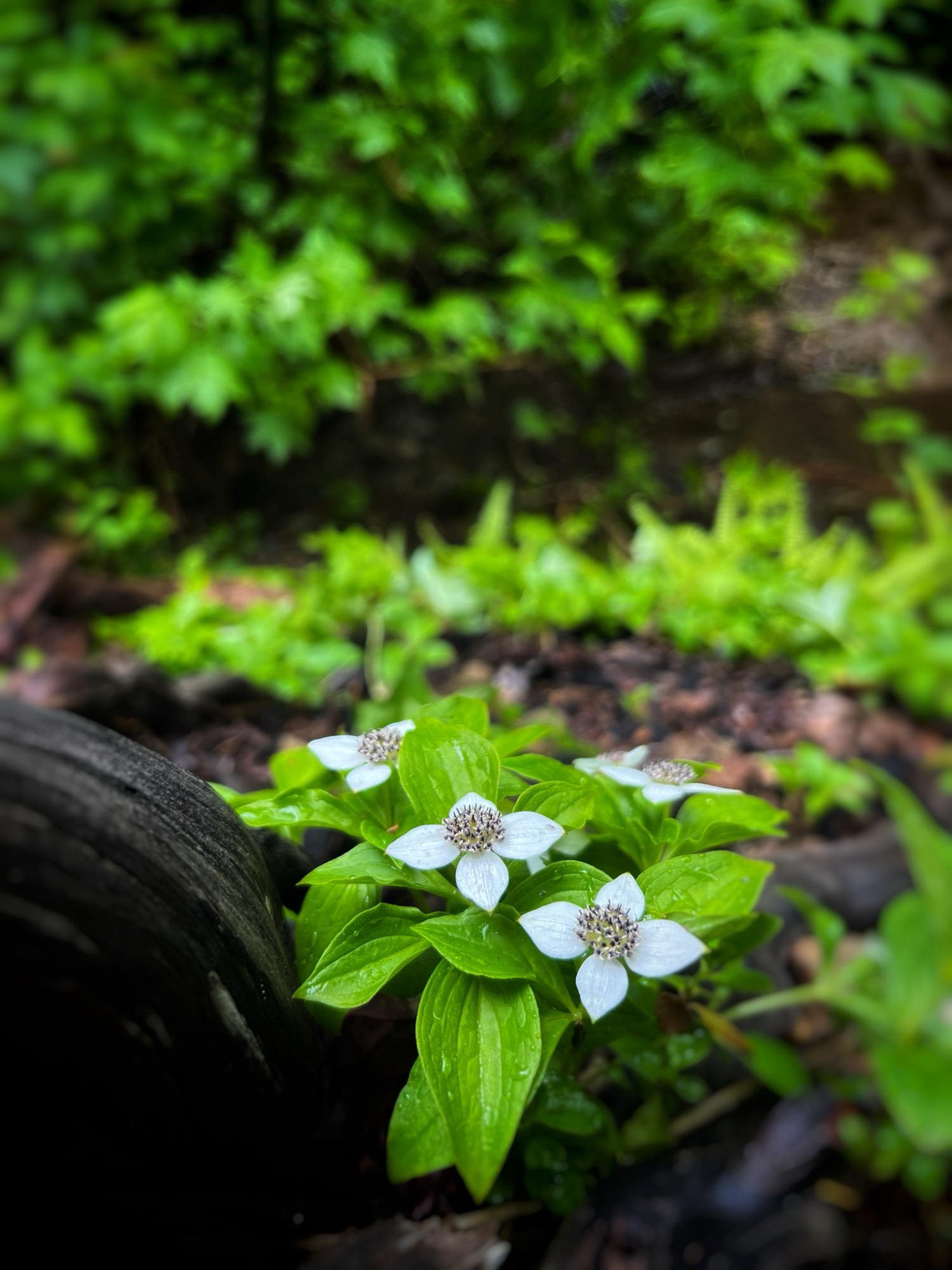
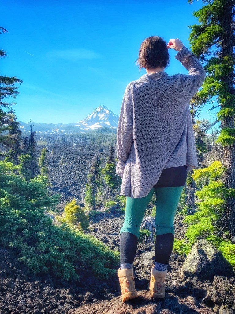
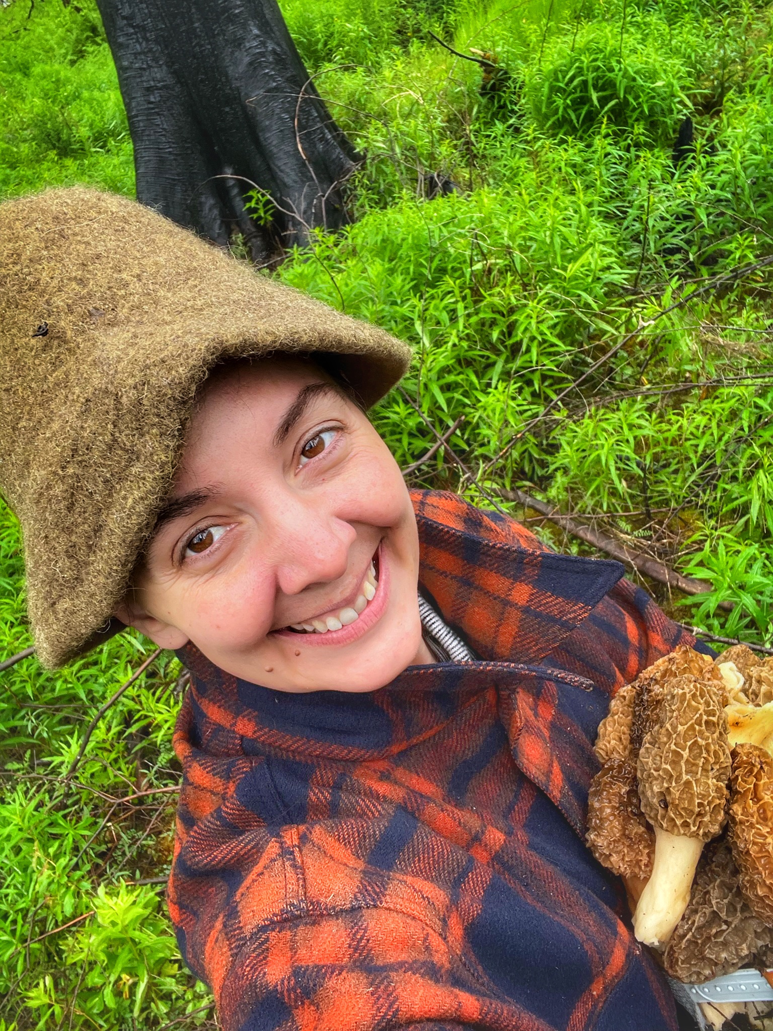
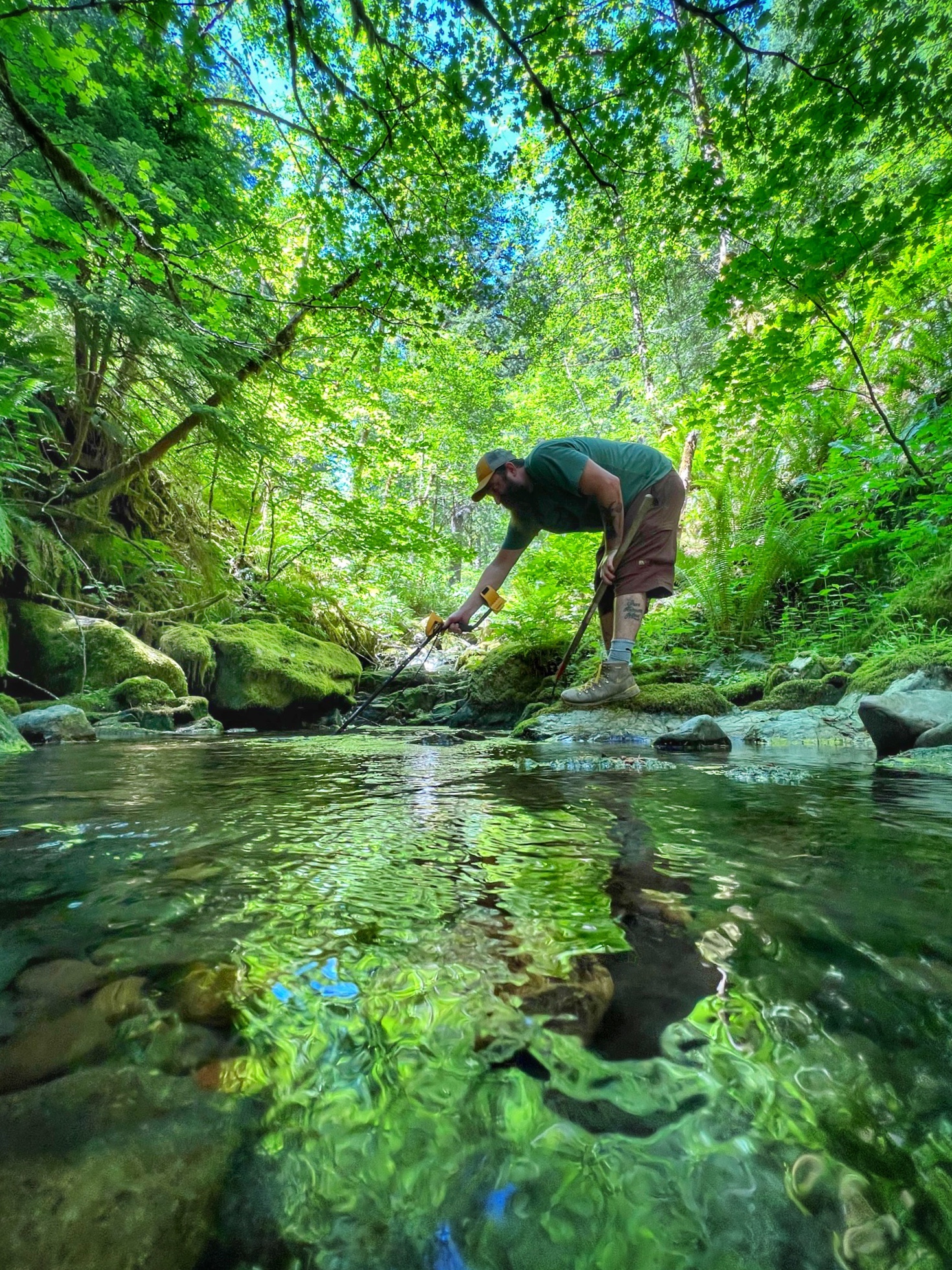
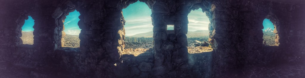
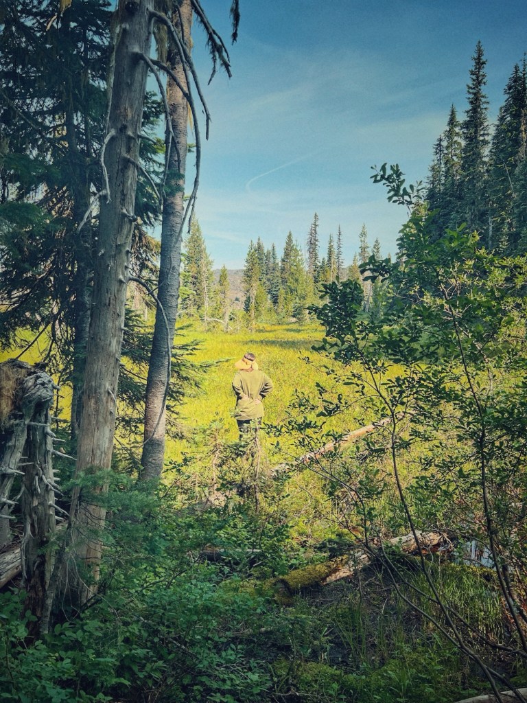
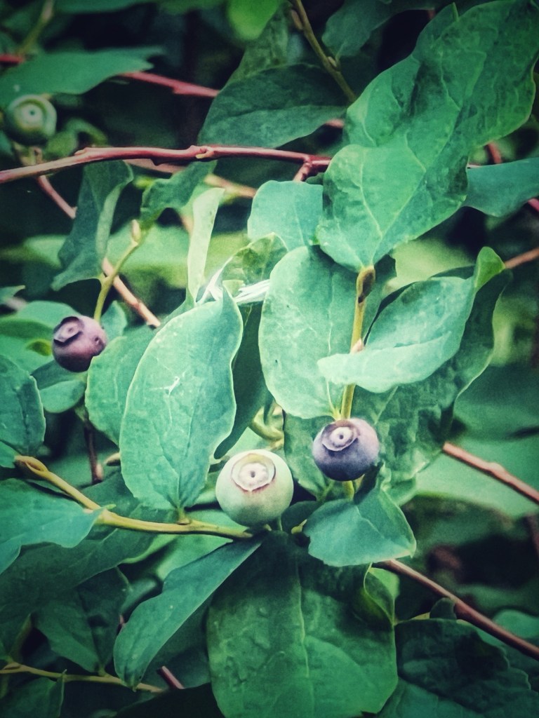
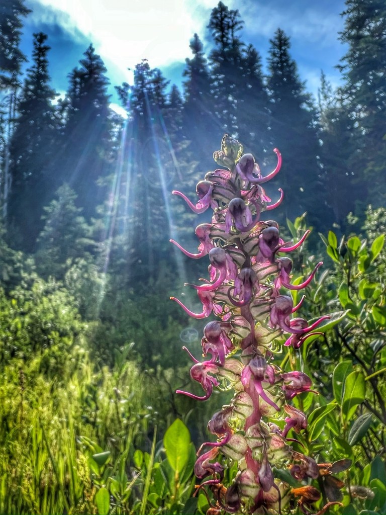
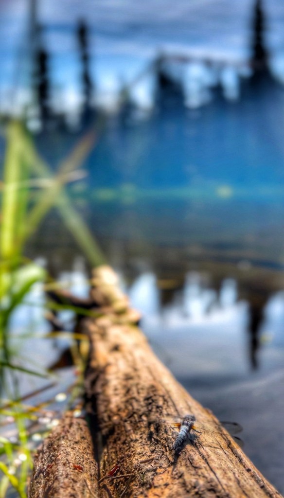
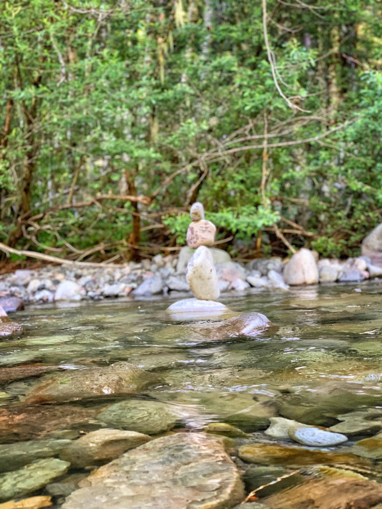
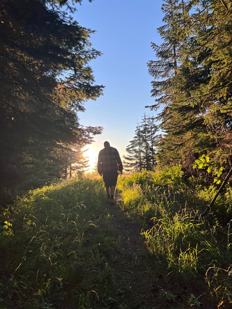
I often feel nostalgic as the seasons change, reflecting on the iconic locations of my life of outdoor adventures. The McKenzie River Valley holds more than just beautiful views; it carries my memories of a life well-lived in these vibrant, green corridor. Each river spot reminds me of my adventures and a collection of snapshots brings back both joy and reflection on the past.

Here are a few of my favorite places along the River . . .
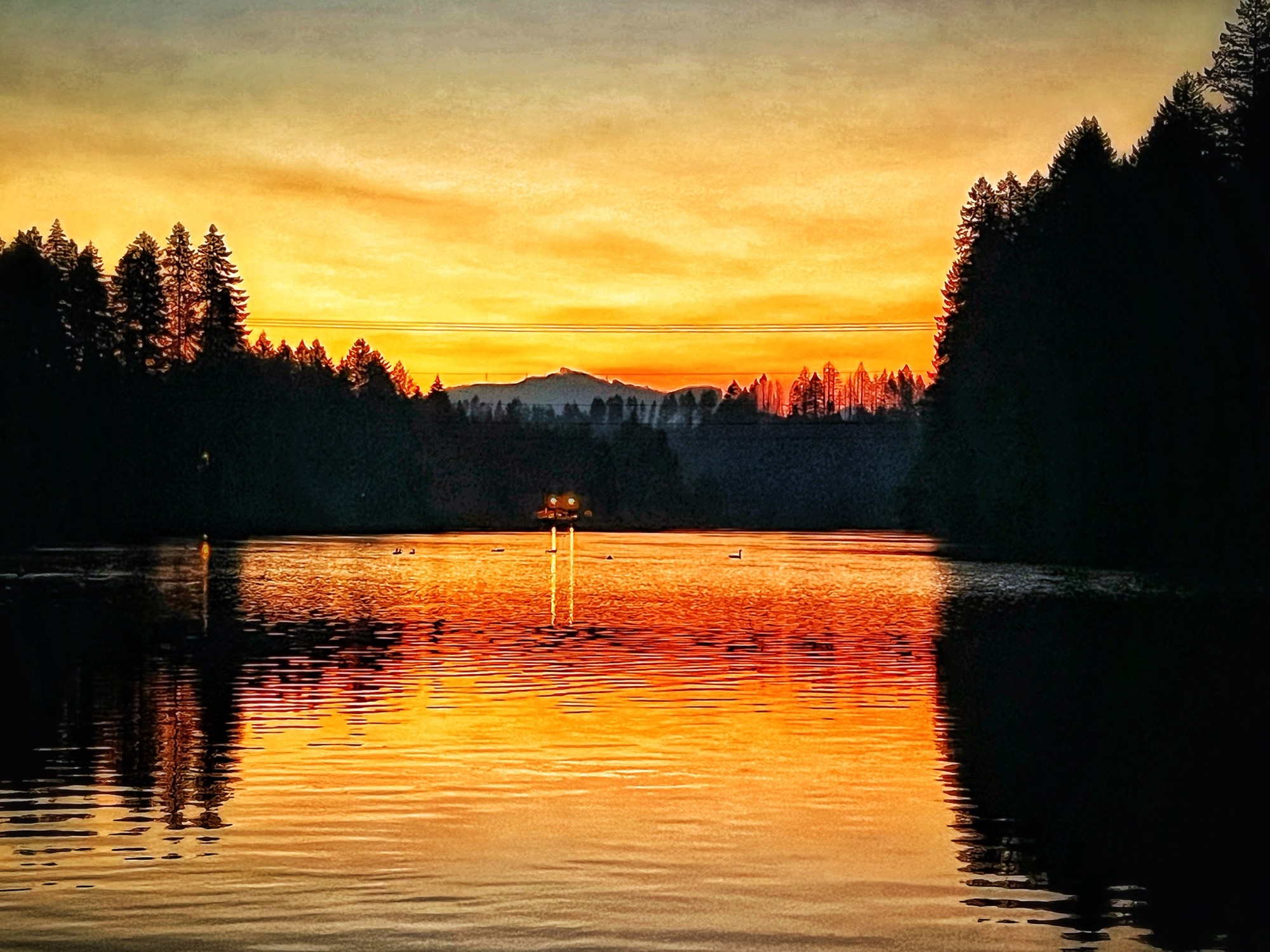
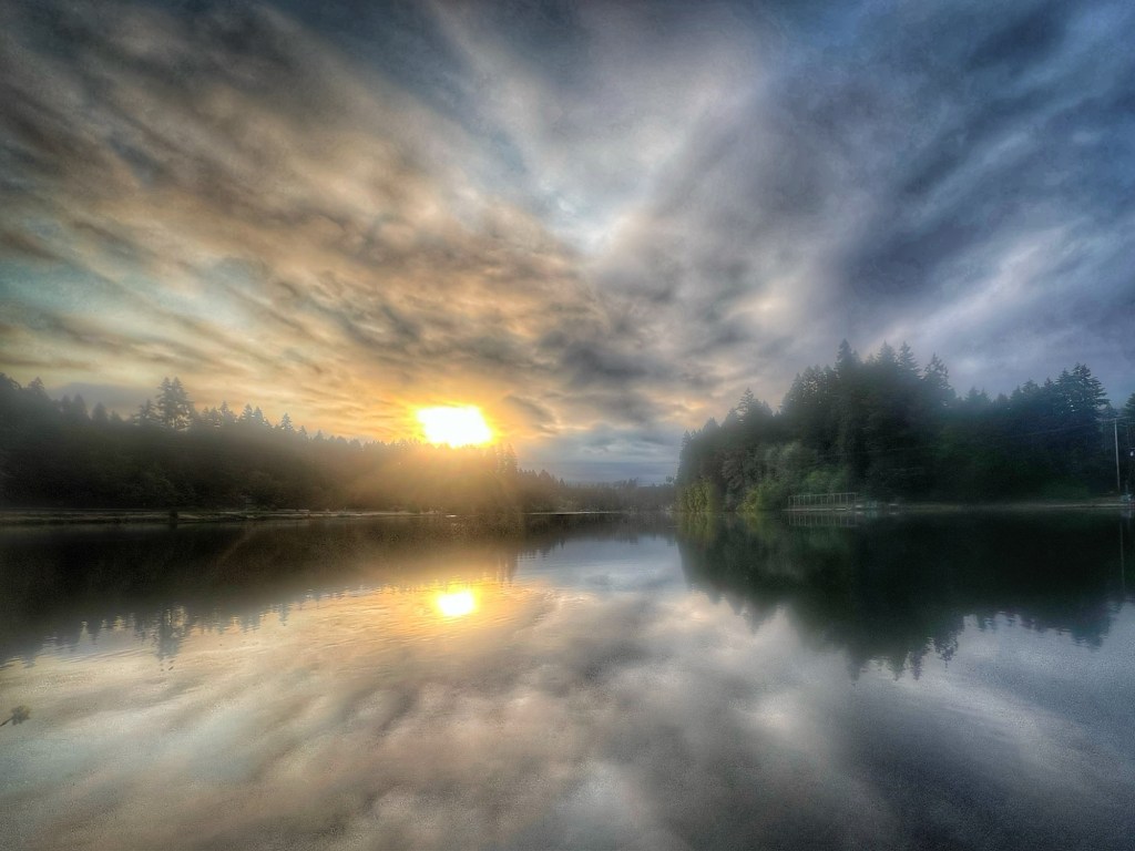
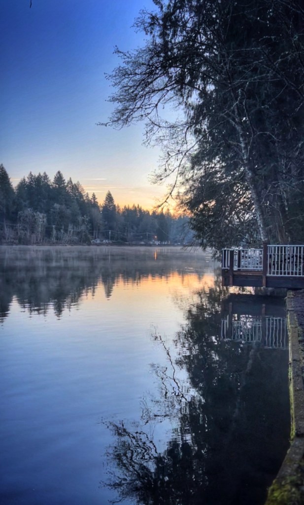
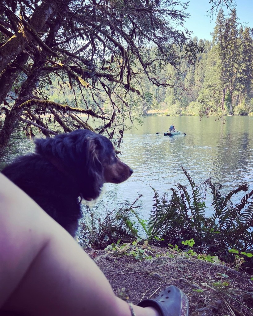
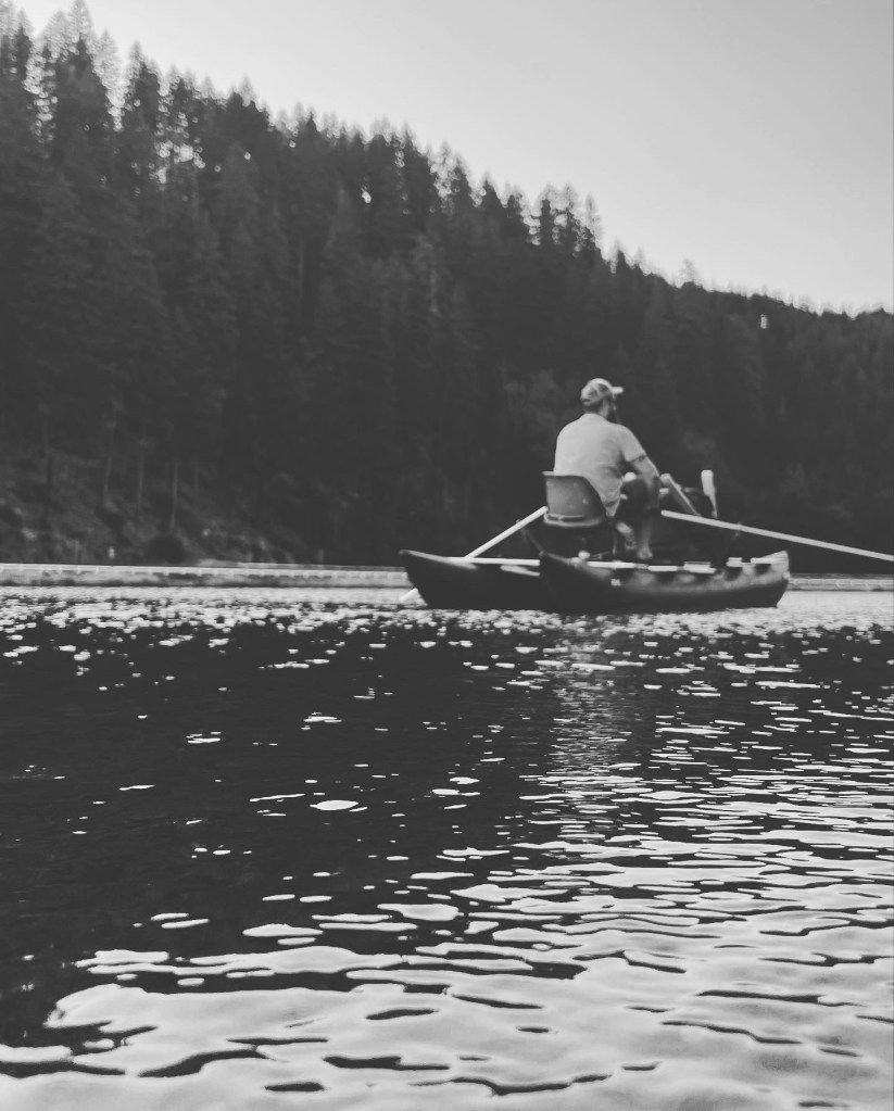
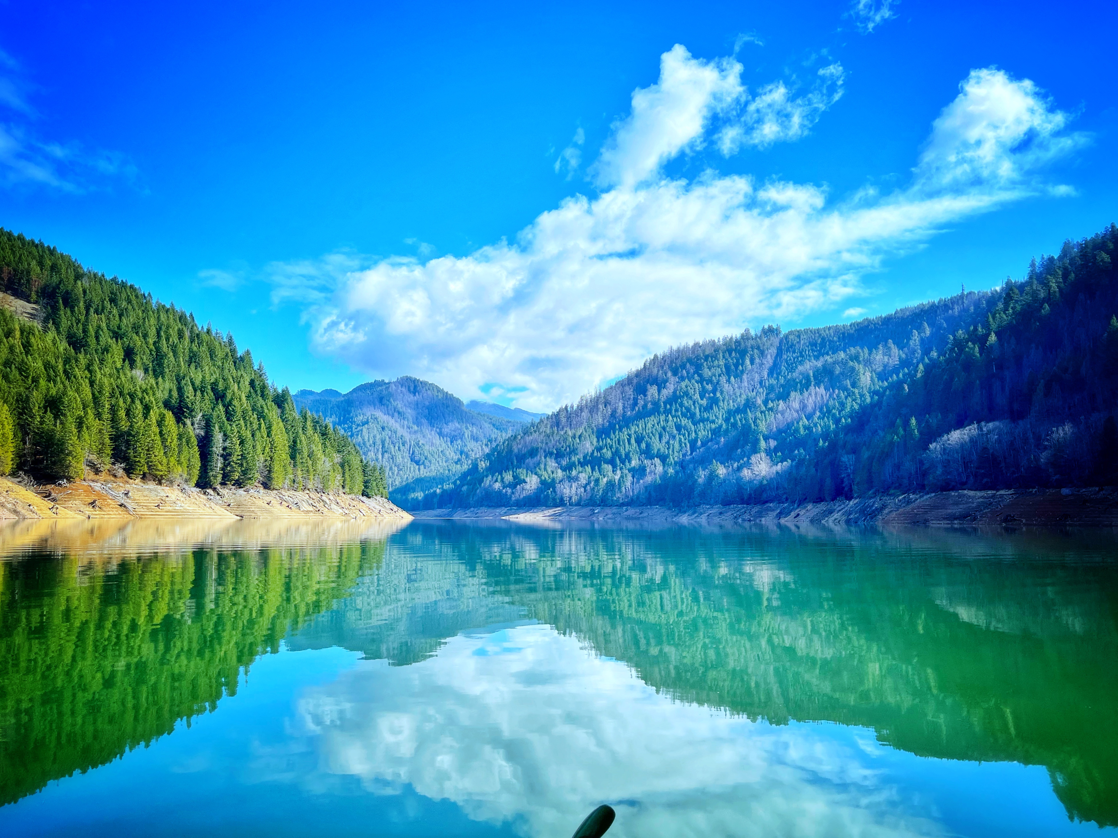
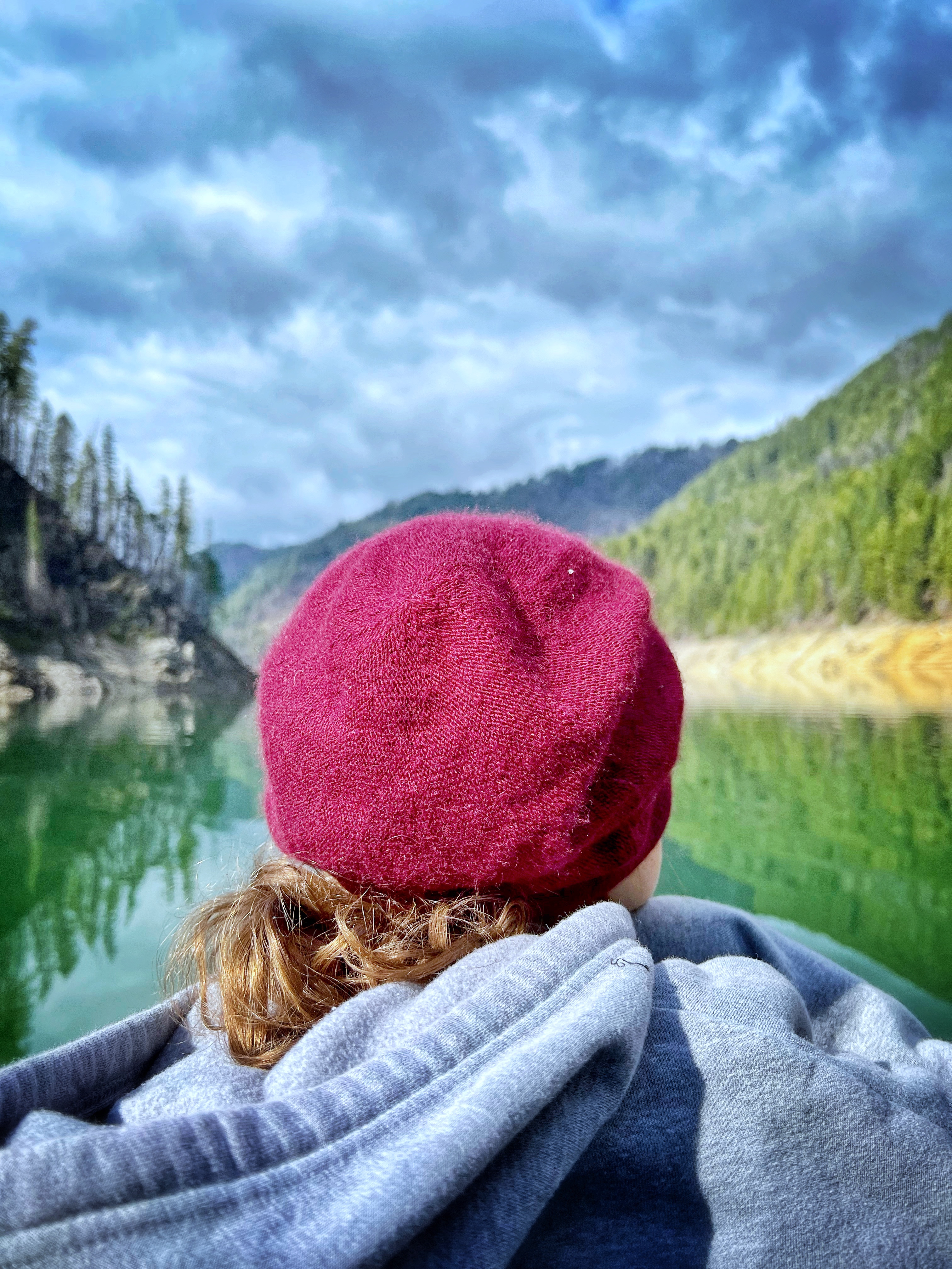
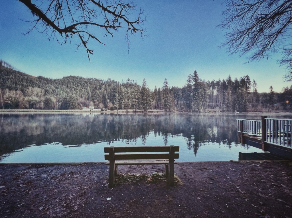
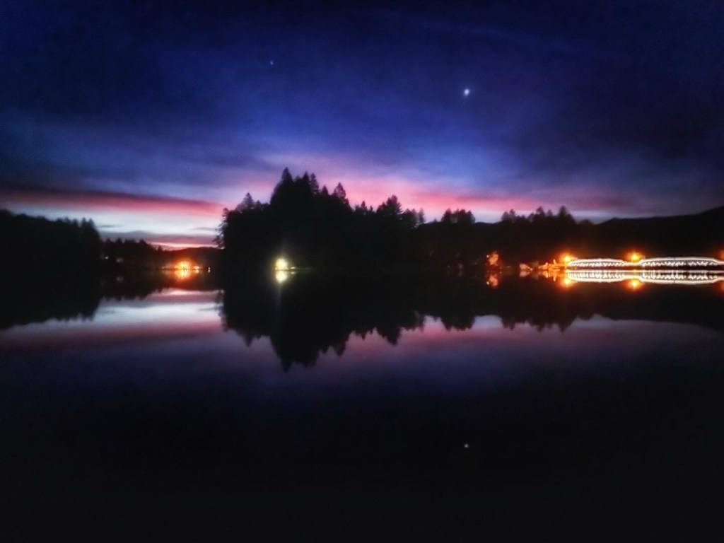
Leaburg Reservoir

Just 20 minutes from the larger city center of Springfield, this reservoir is a go-to destination for townies looking to float or paddle board. Though there are plans to dismantle this dam and return the river to its natural river bed here, it’s still our evening swimming hole and quick kayak trip from the boat ramp.

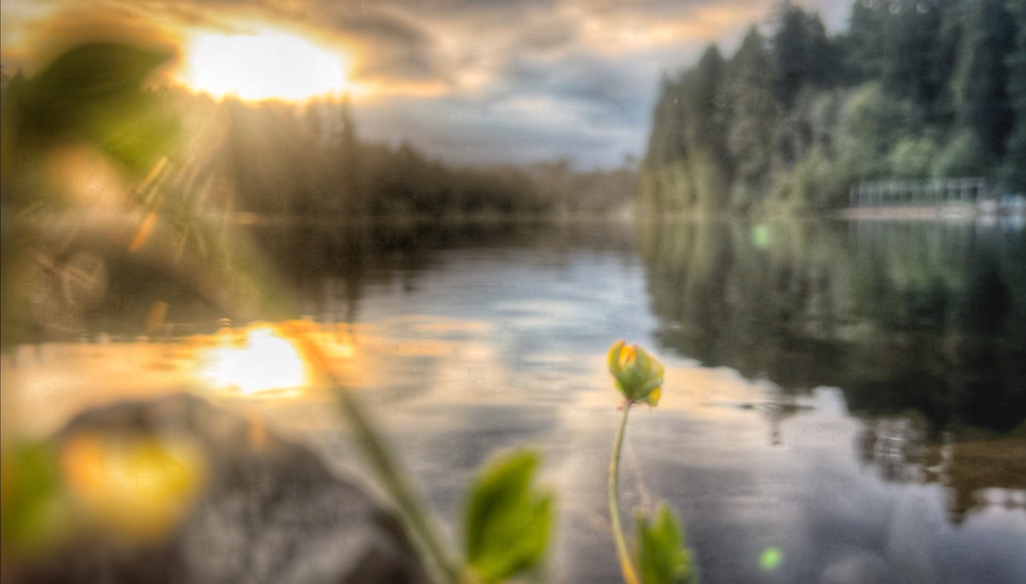
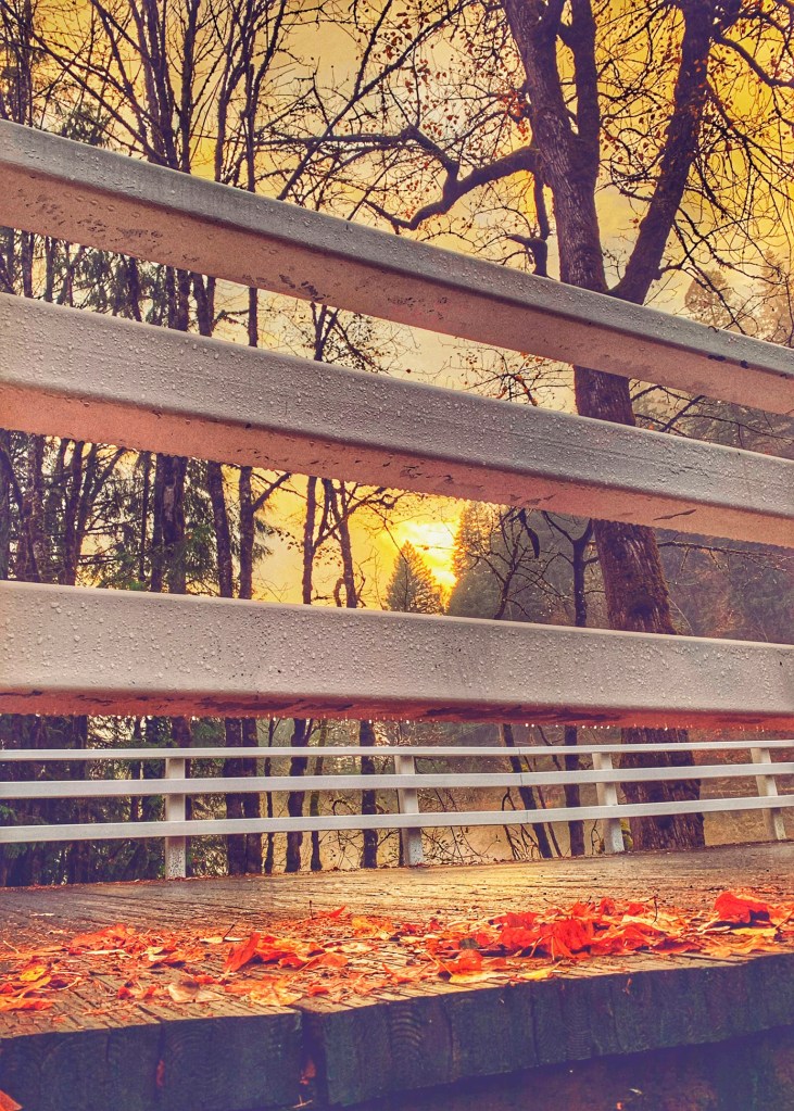
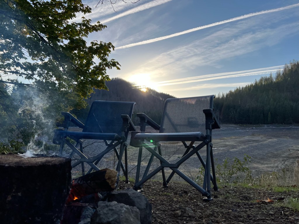
Due due to my daily commute to Eugene, I am afforded many a beautiful landscape or sunrise opportunity along with curve of the river . . . too many picture to ever post but worth the stop every time!
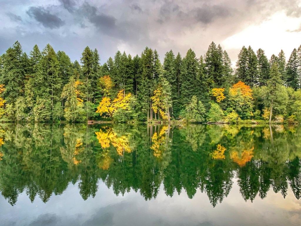
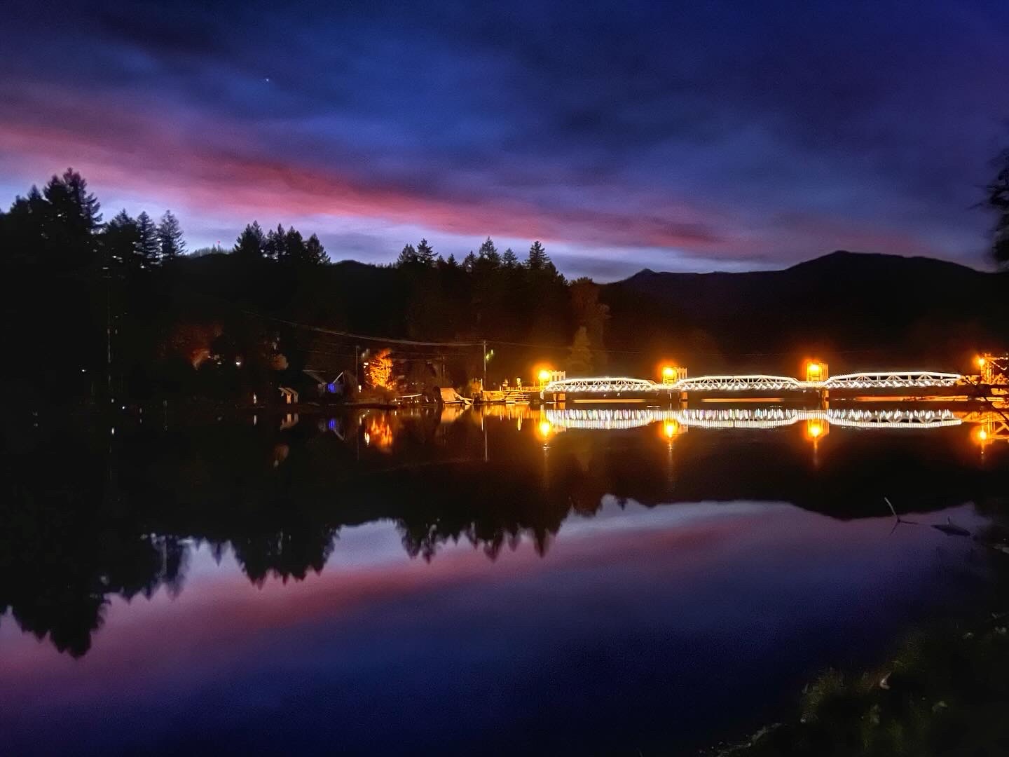
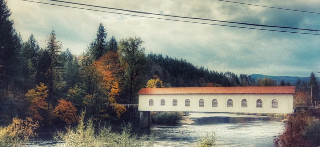
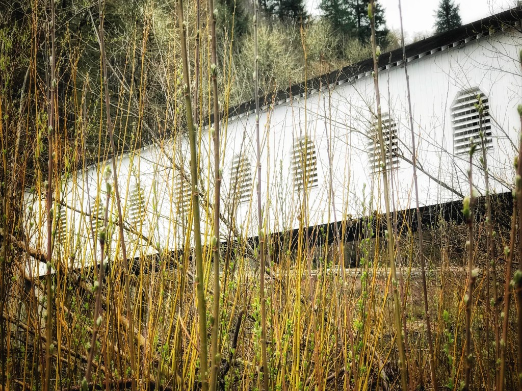
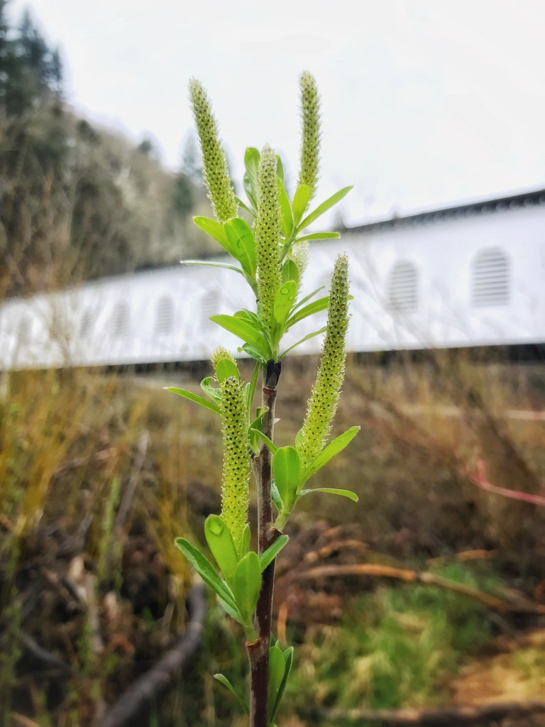
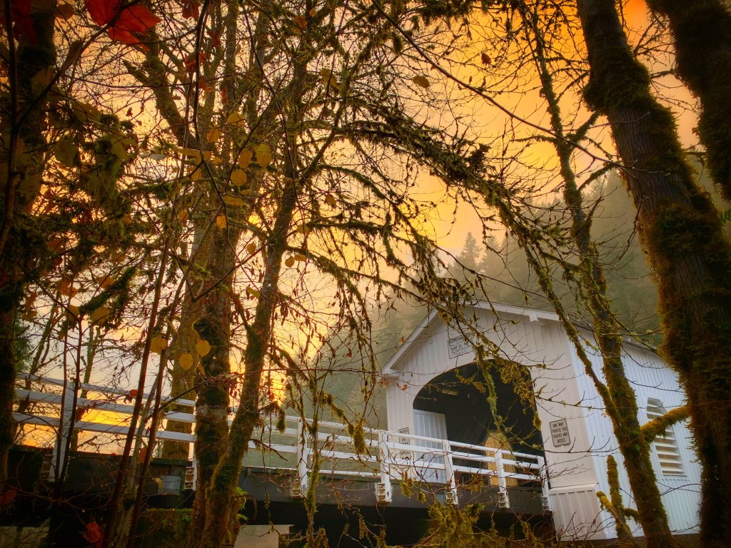
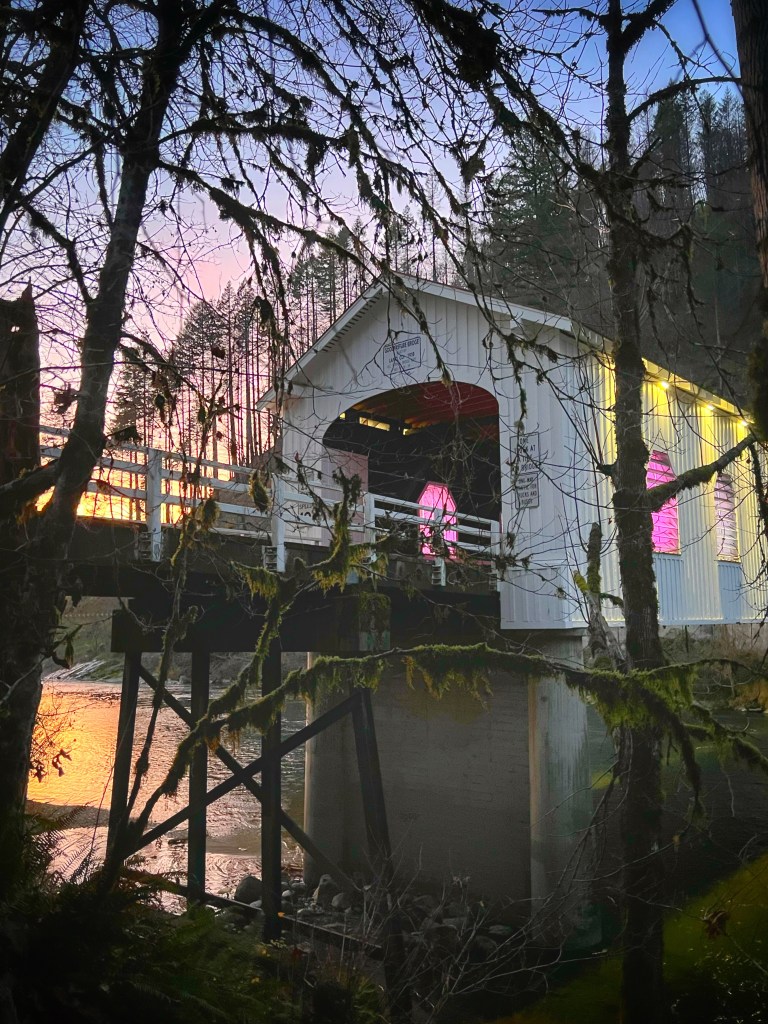
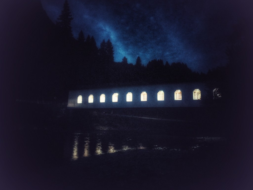
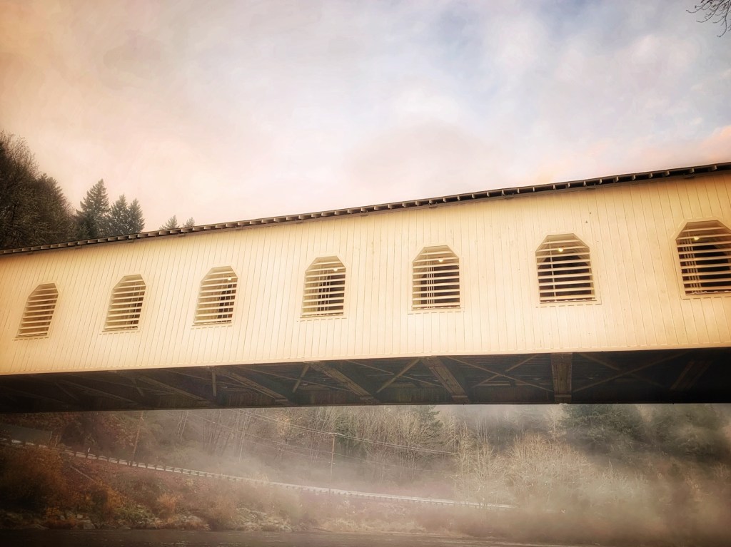
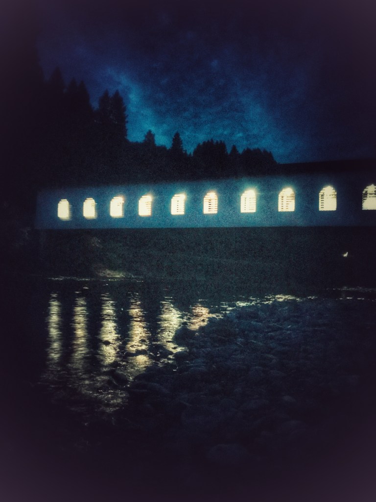
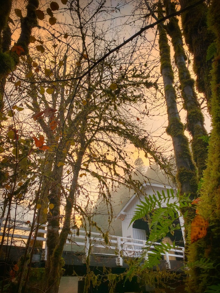
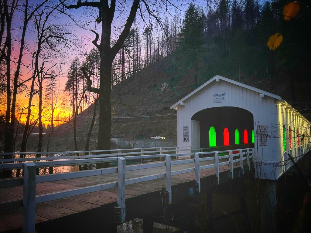
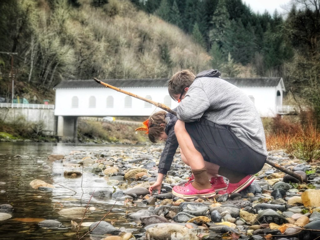
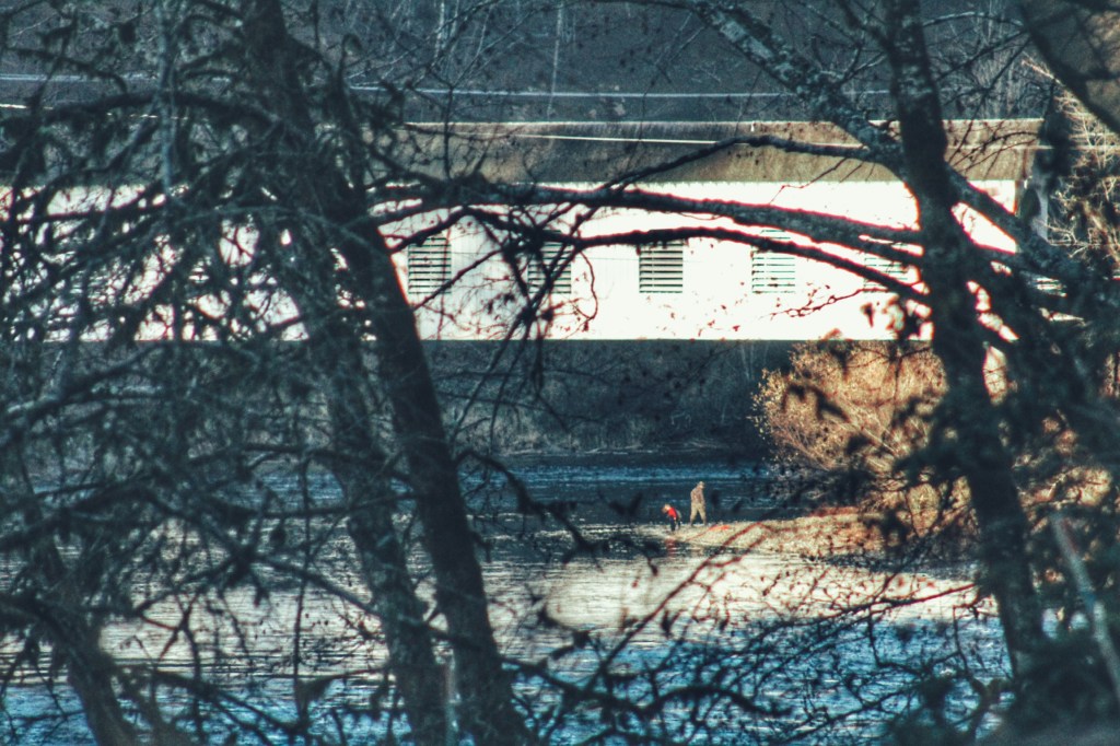
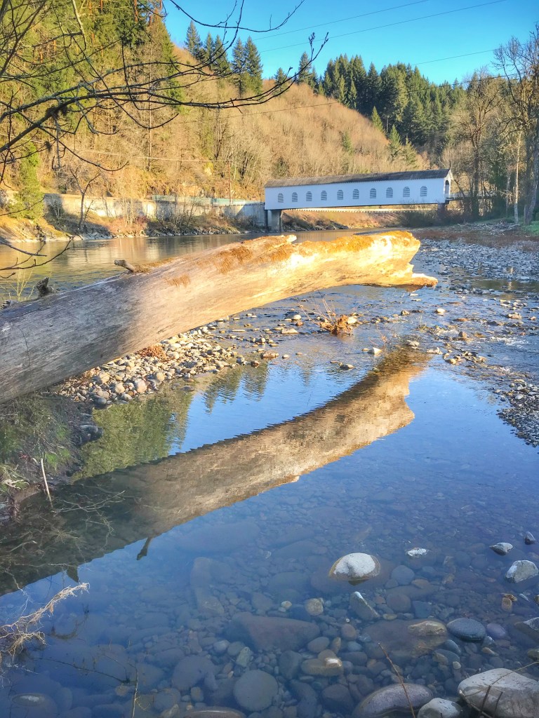
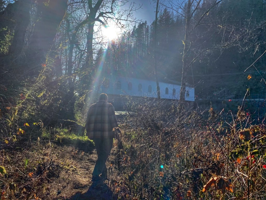
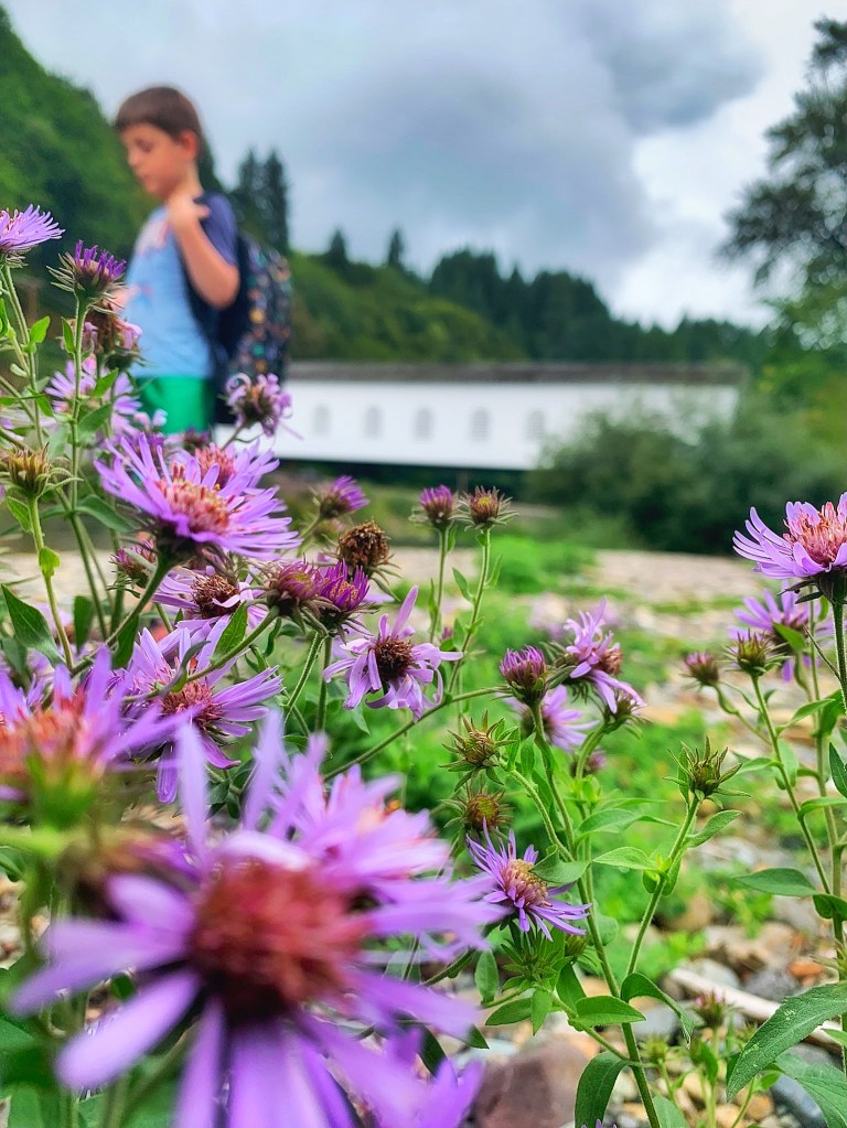
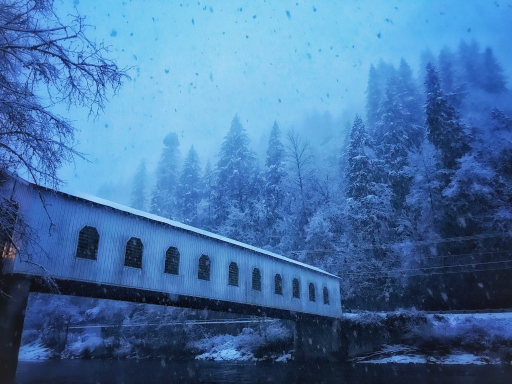
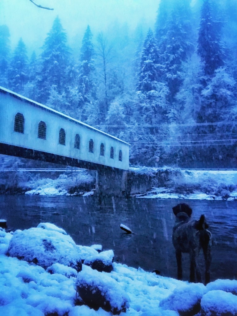
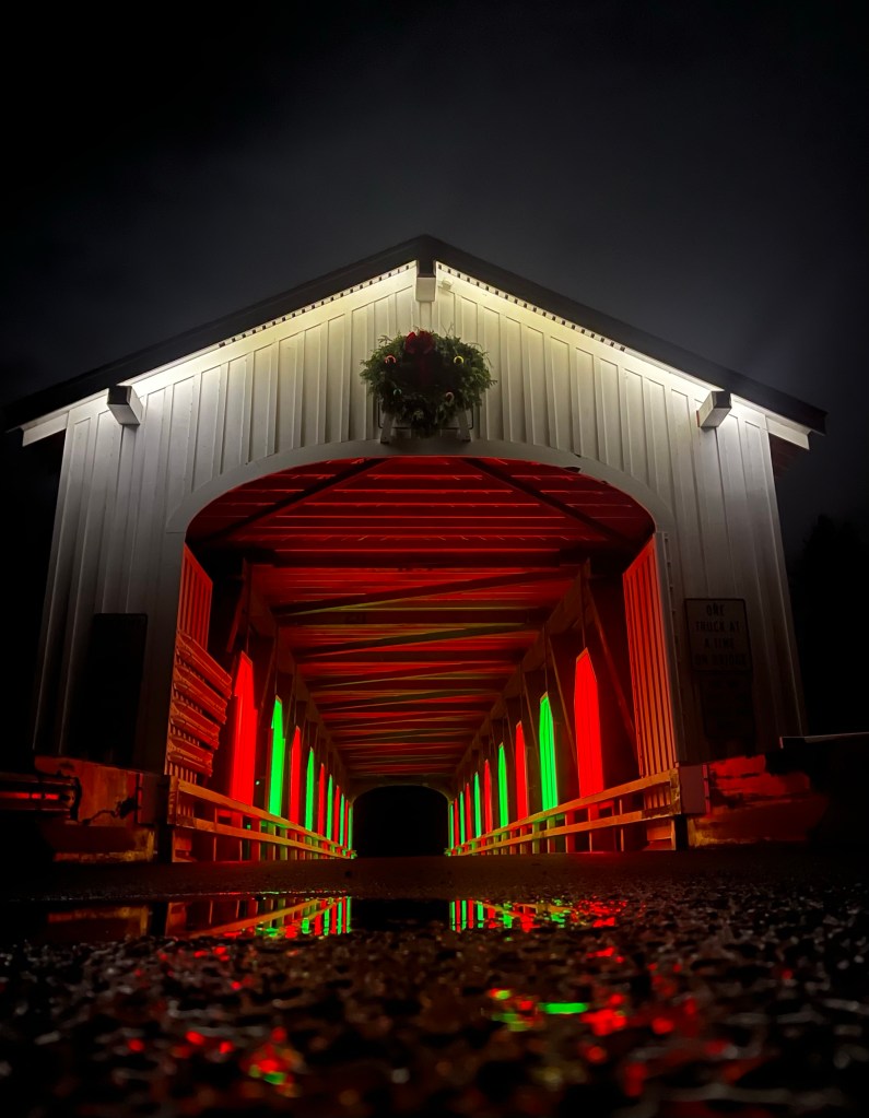
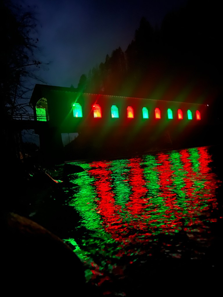
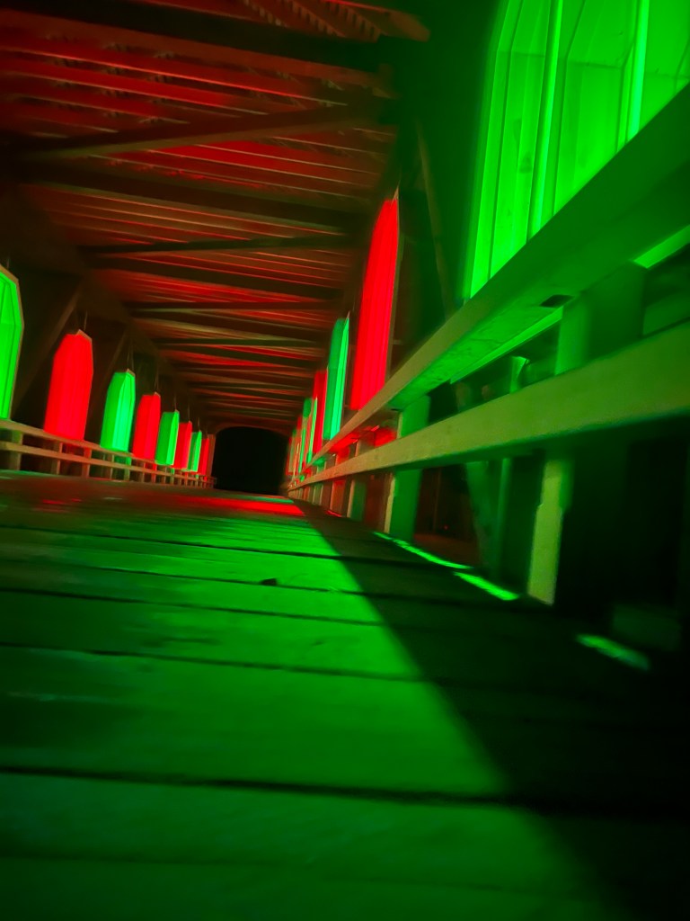
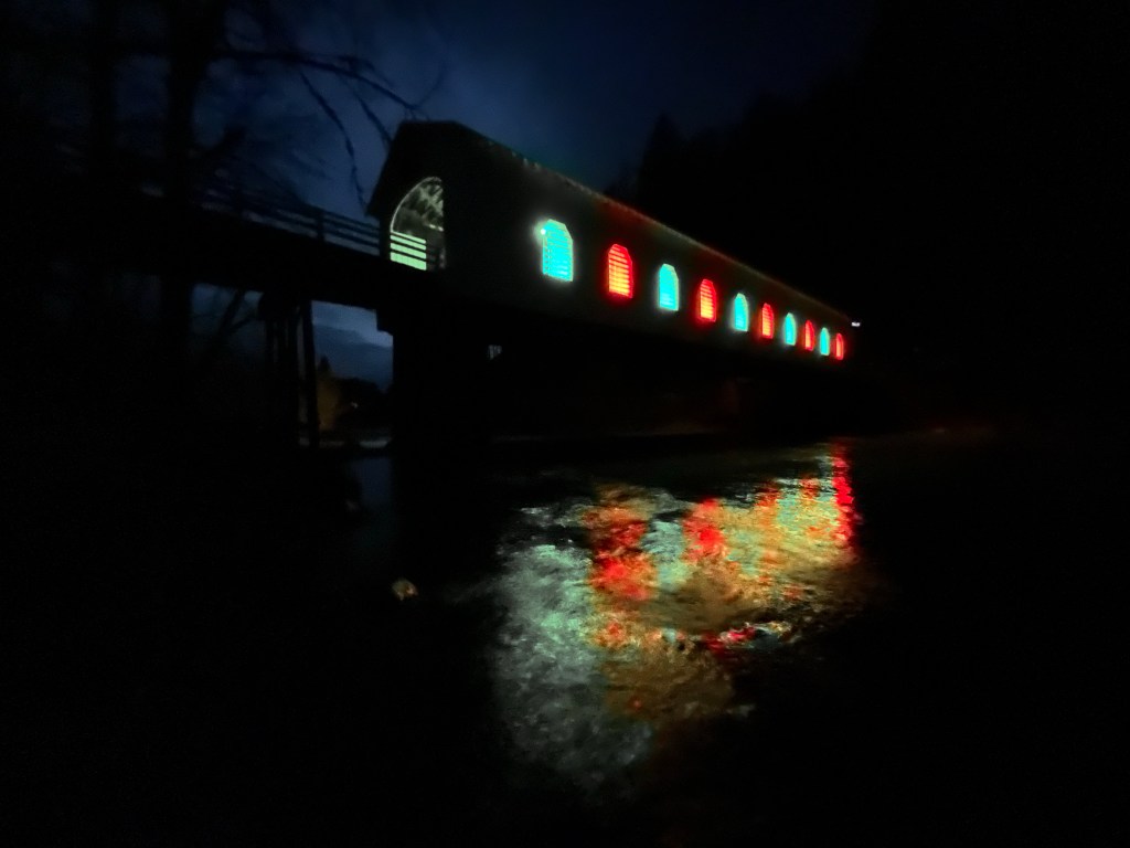
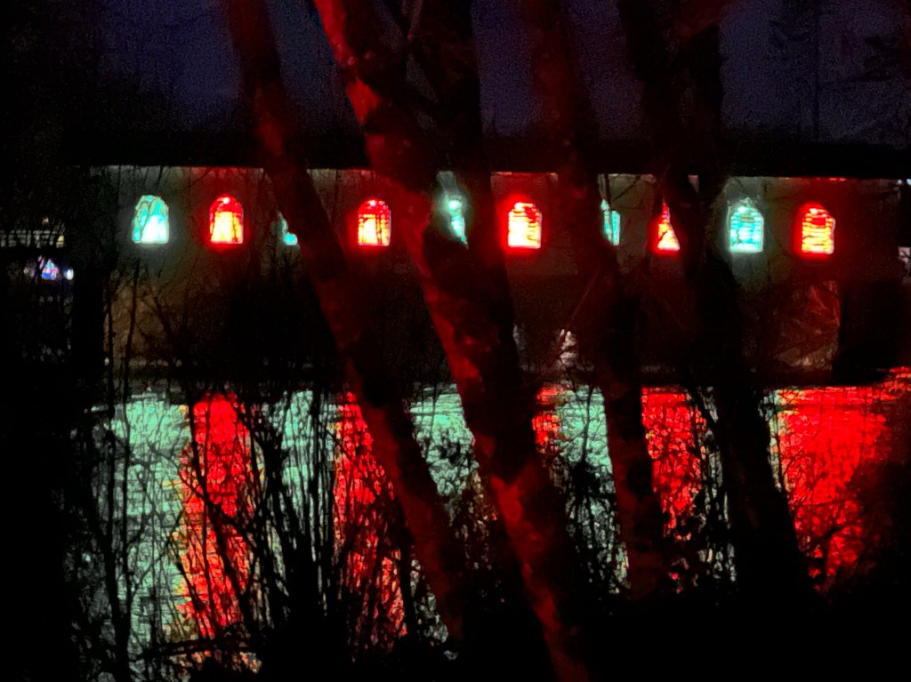
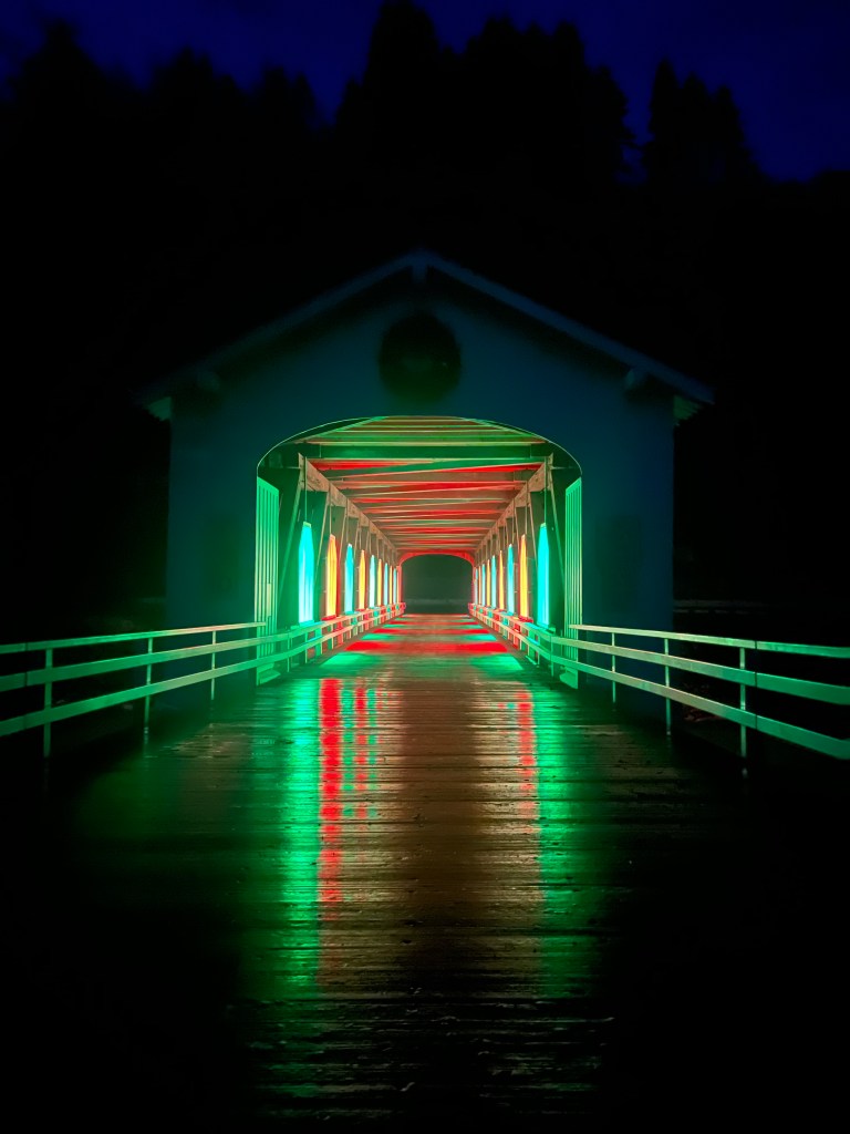
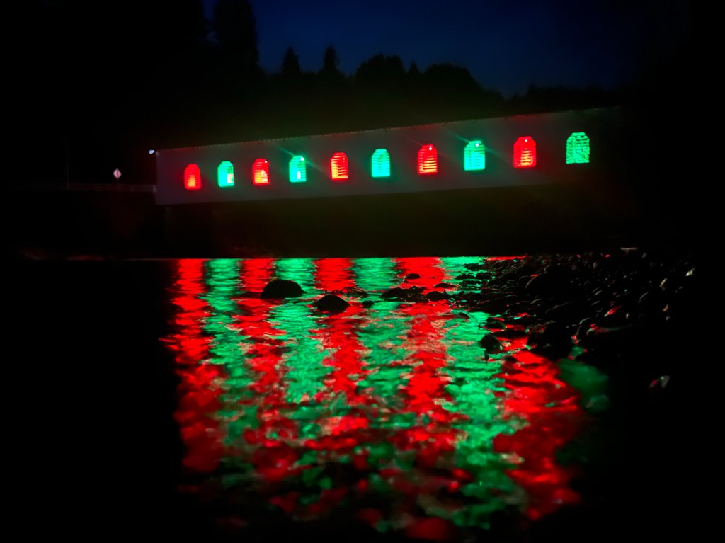
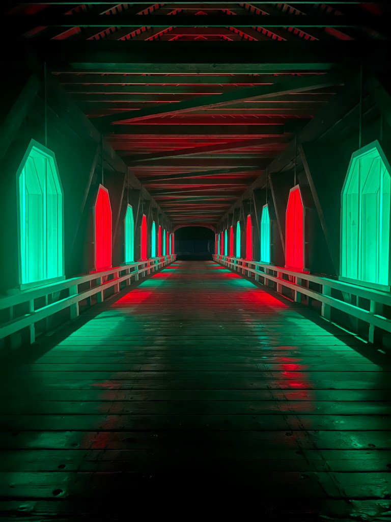
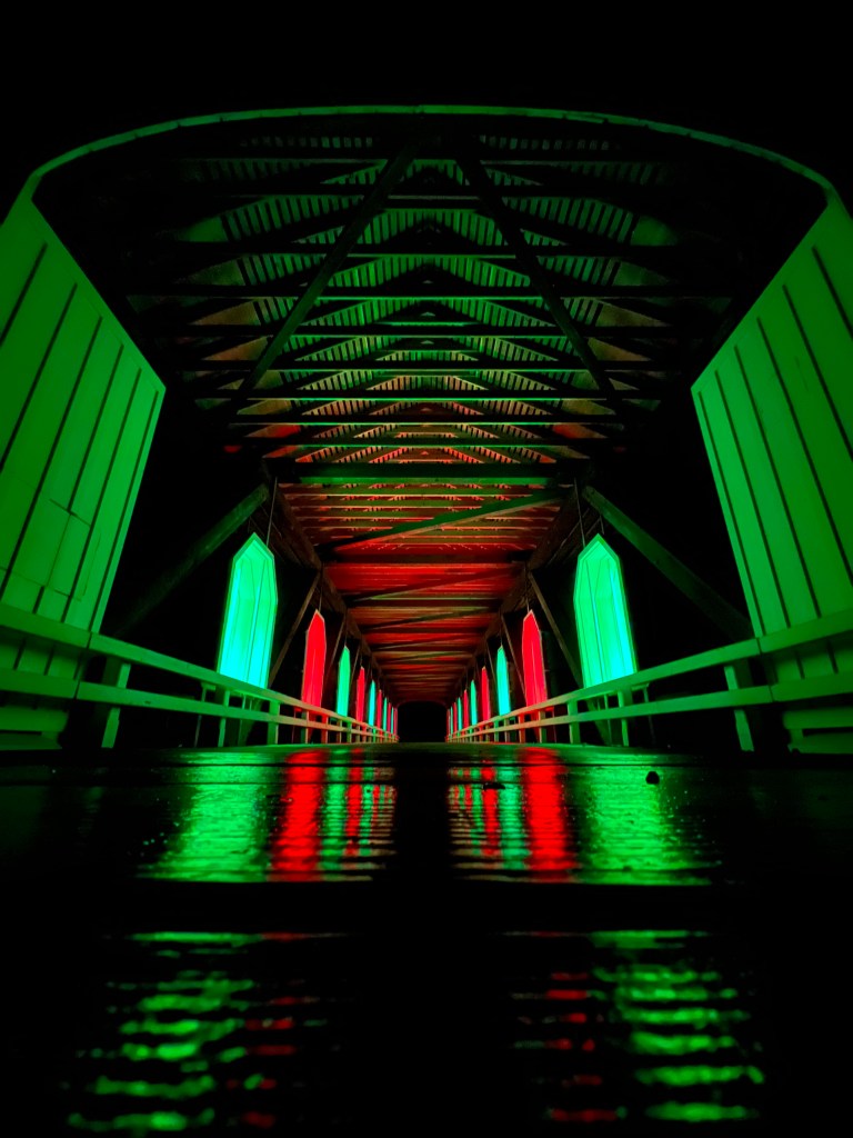
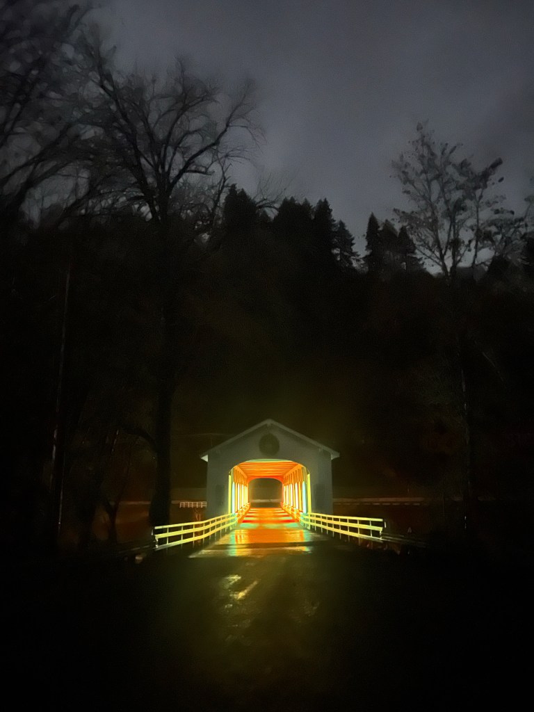
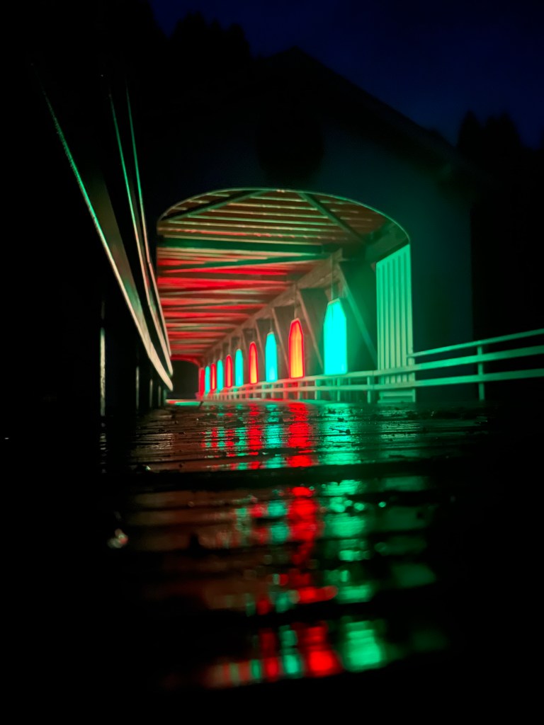
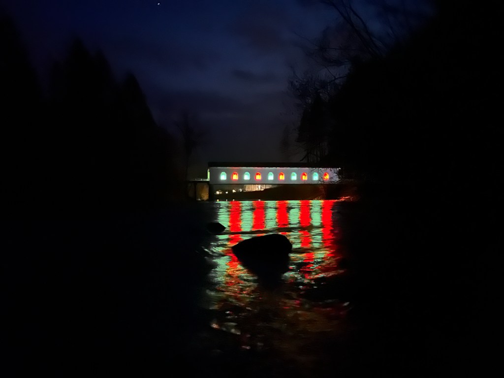
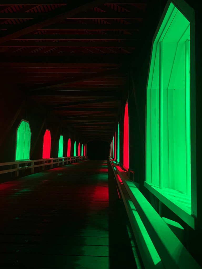
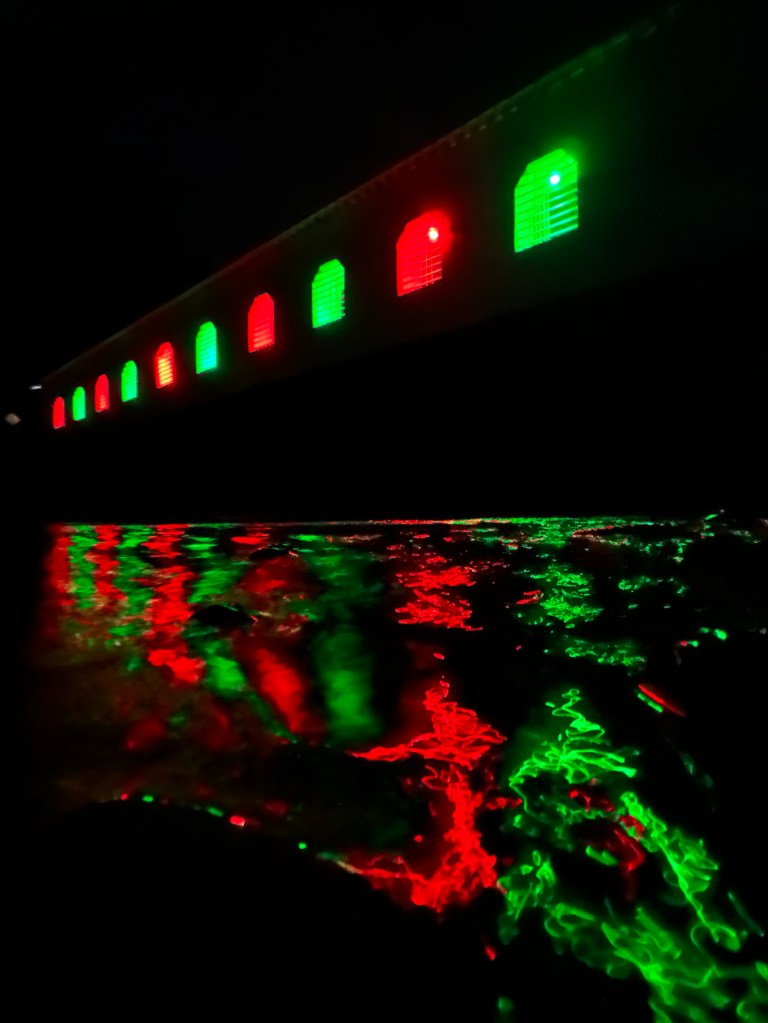
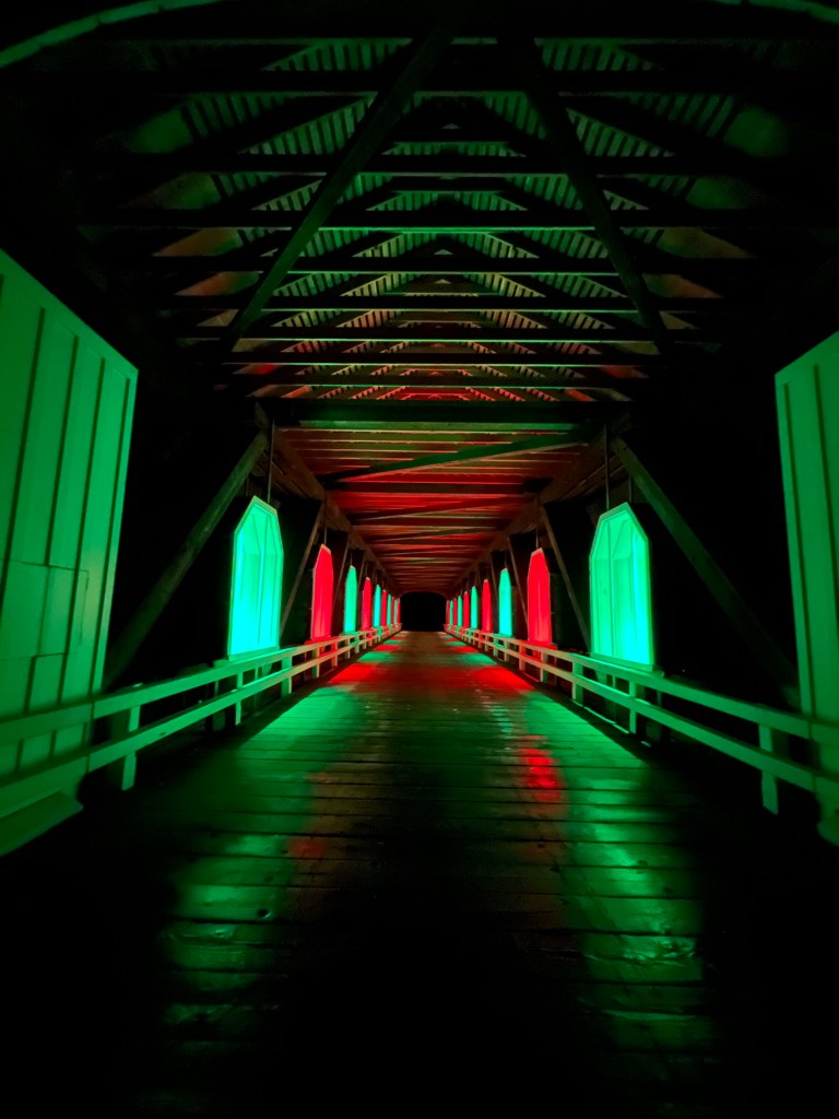
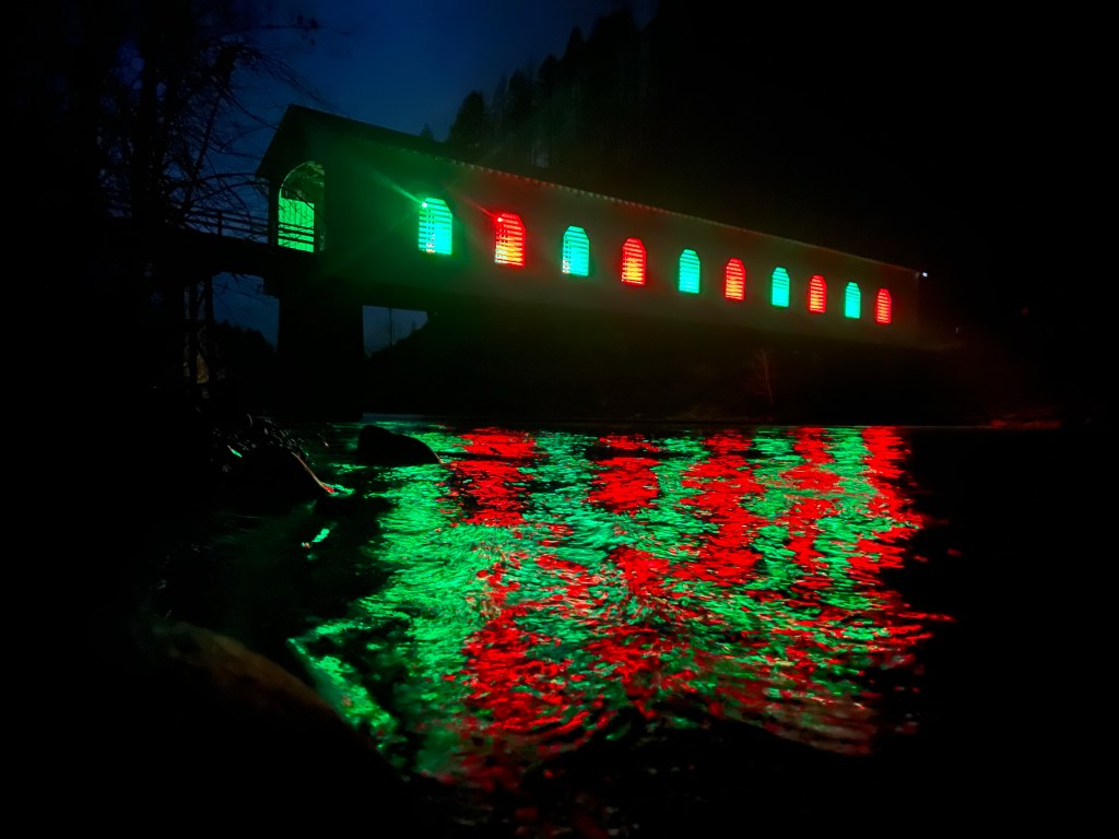
Goodpasture Bridge

Coincidently one of the most photographed covered bridges in the state, the Goodpasture Bridge near Vida features prominently in my own photo adventure living near-by as I do;)

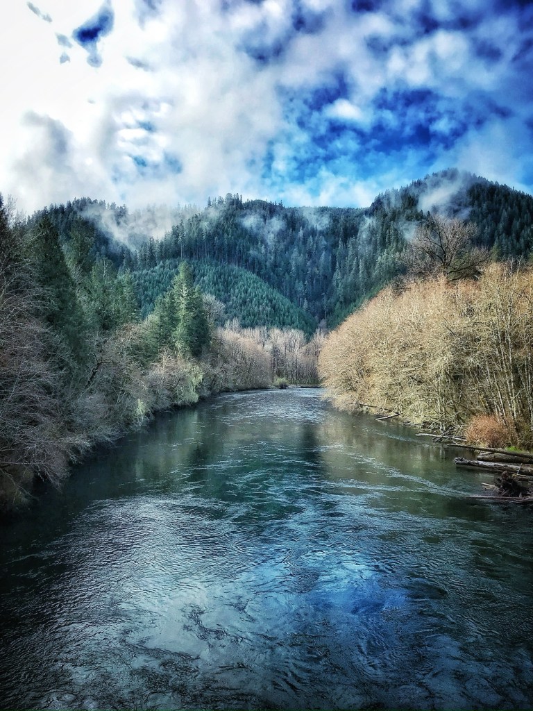
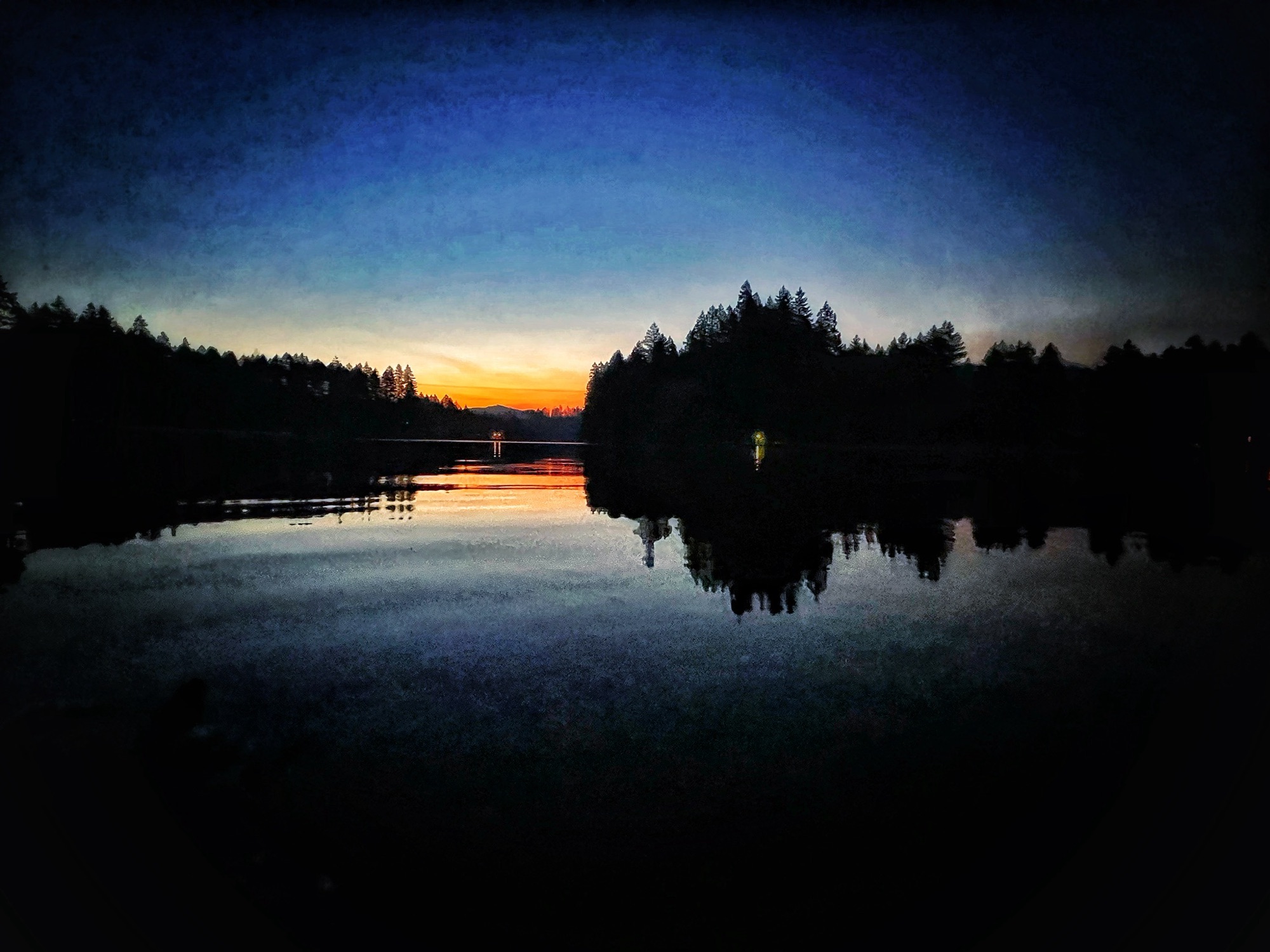
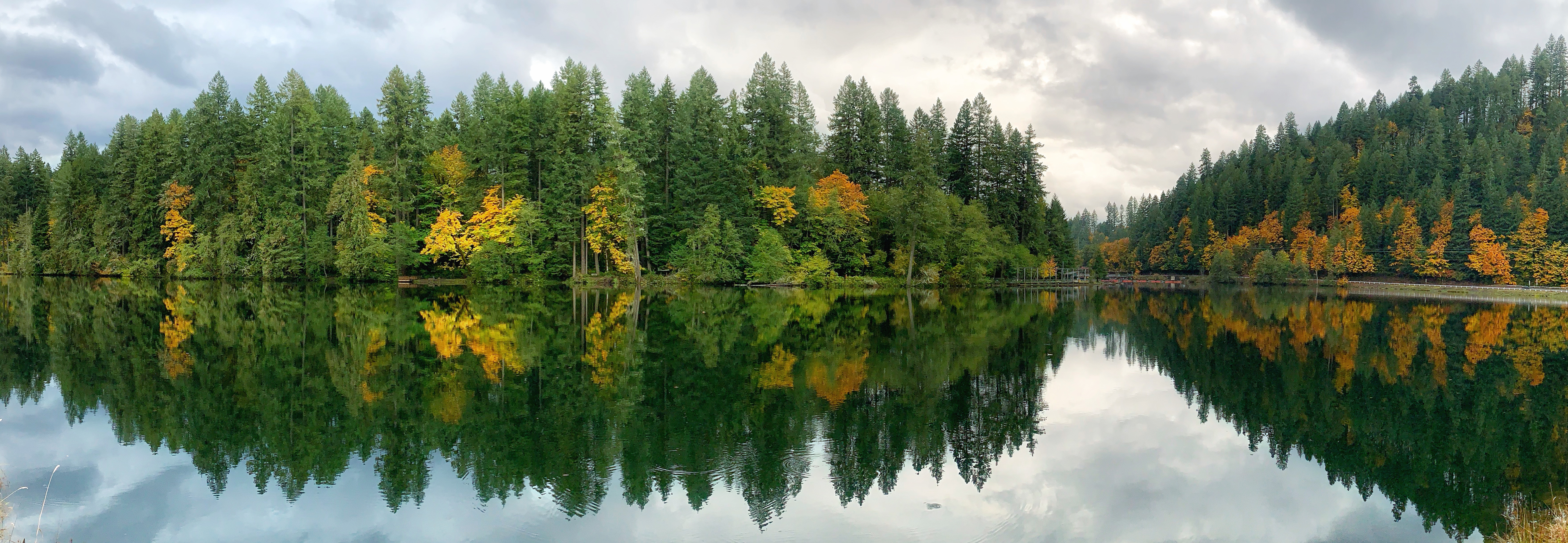
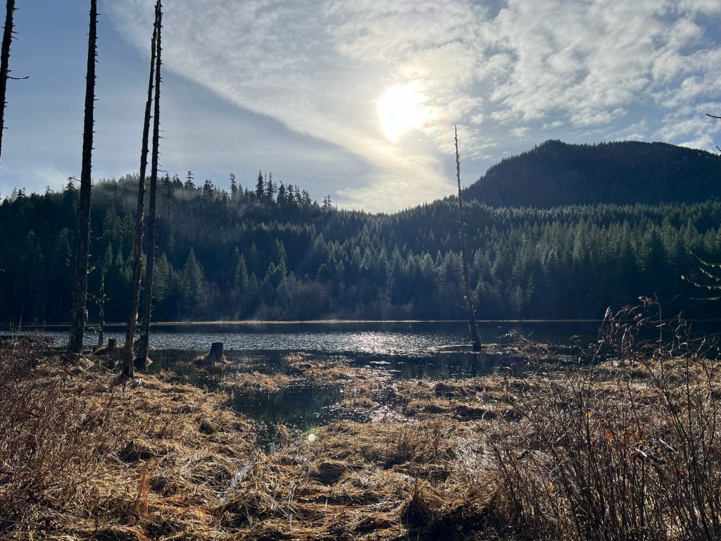
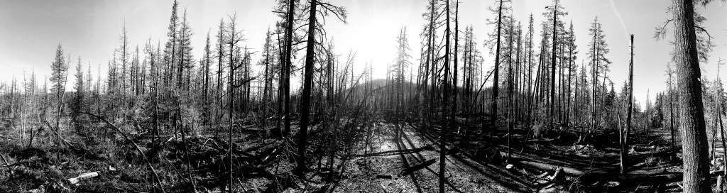
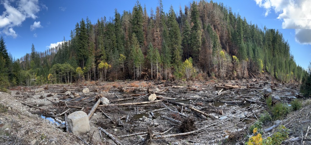
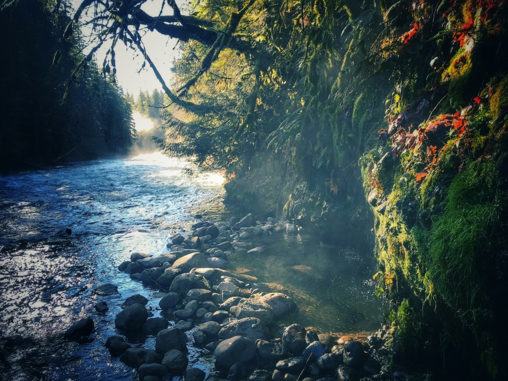
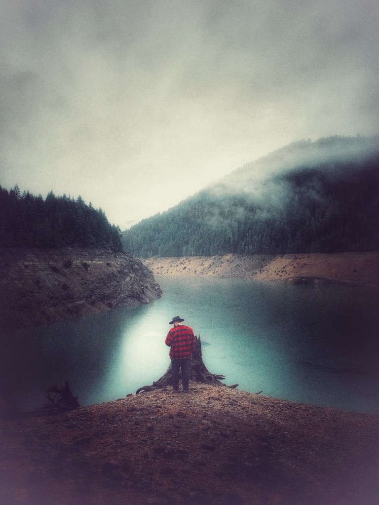
As you continue up Highway 126, one will find many a pull off or boat ramp to tempt you off the beaten path. About 20 minutes east you’ll pass near the town of small town of Blue River – slowly recovering from the 2020 Holiday Farm Fire – and its name sake reservoir.
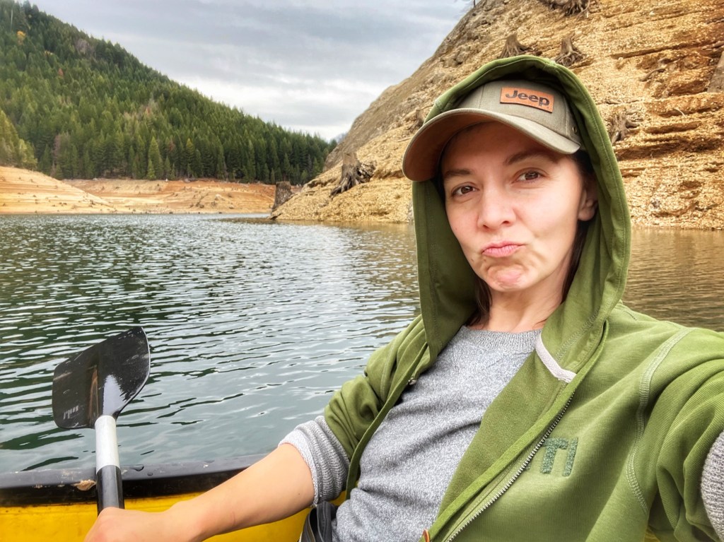
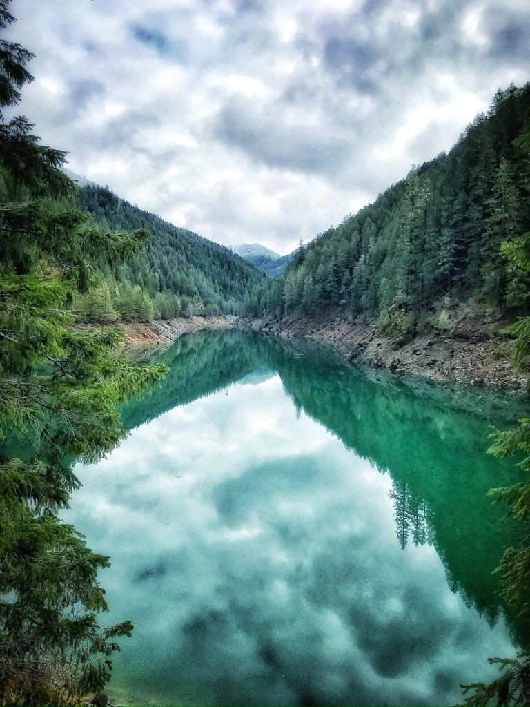
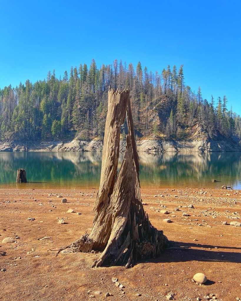
Blue River

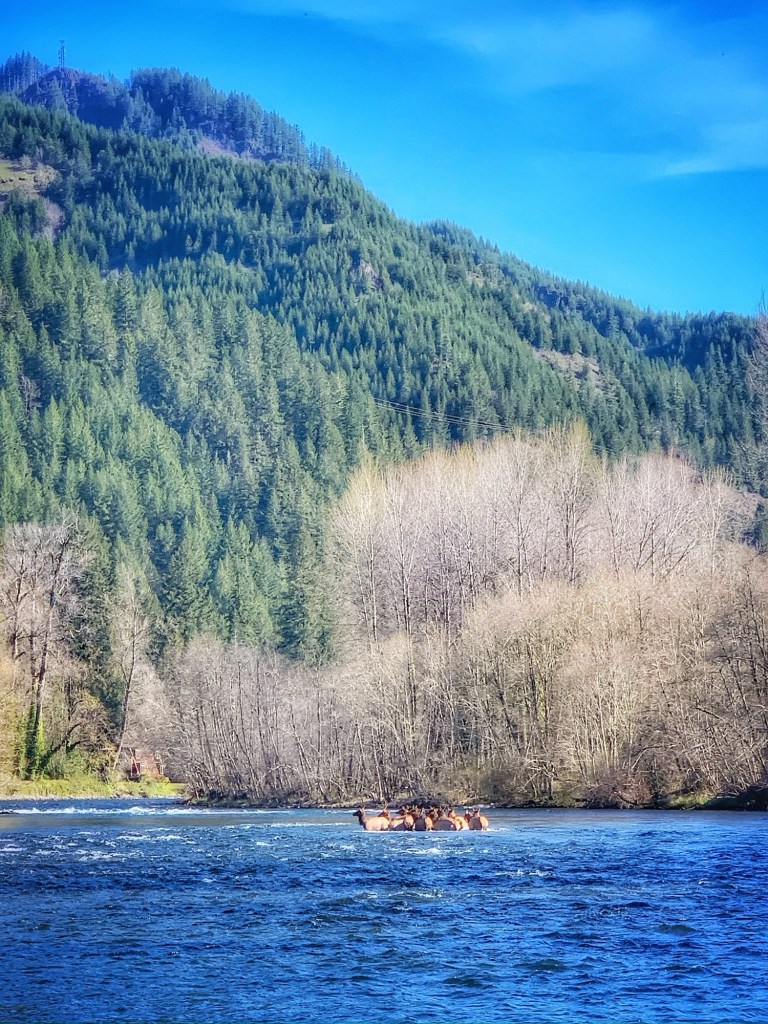
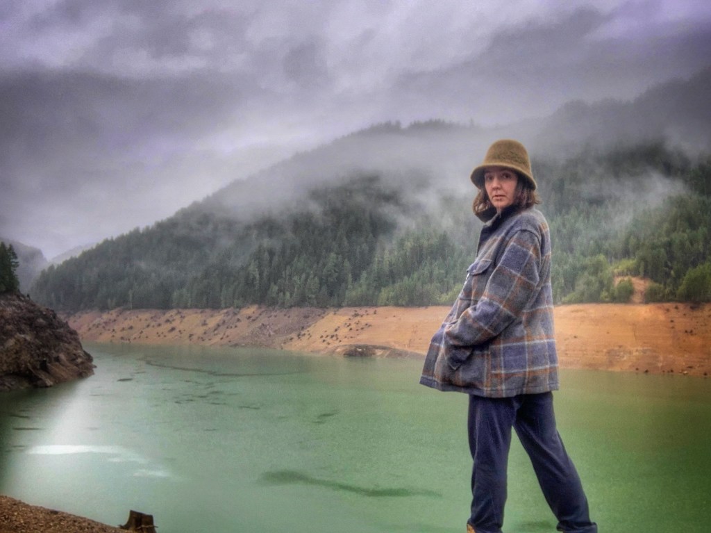
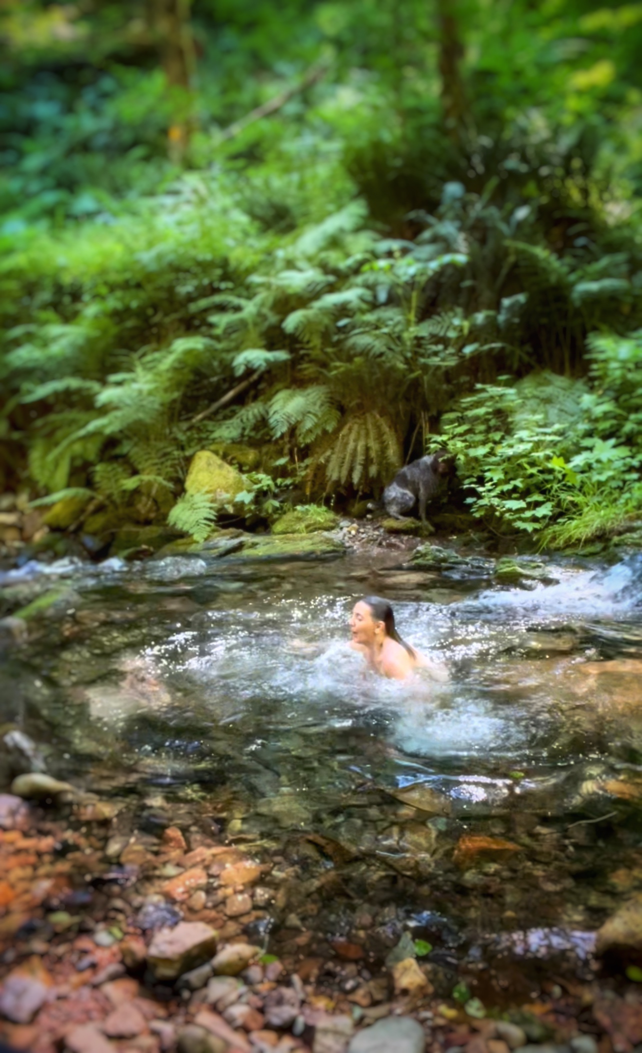
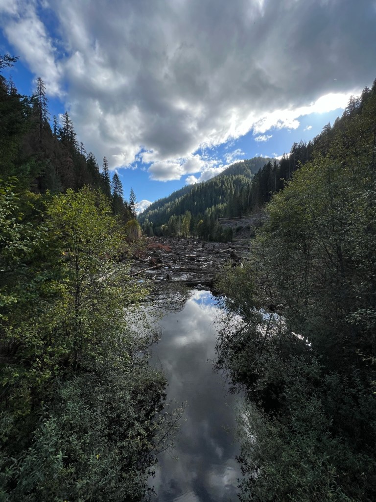
Blue River Reservoir offers a delightful experience on both sides! On the town side behind the community of Blue River, you’ll discover ‘Viewpoint’ along with several inviting swimming holes and remnants of old logging roads just waiting to be explored.

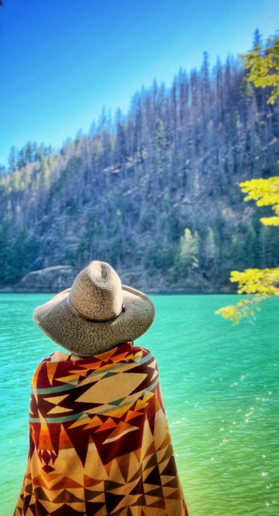
Tourists most often flock to the Mona Campground side of the reservoir where RV amenities and a convenient boat ramp cater to campers and water enthusiasts alike.
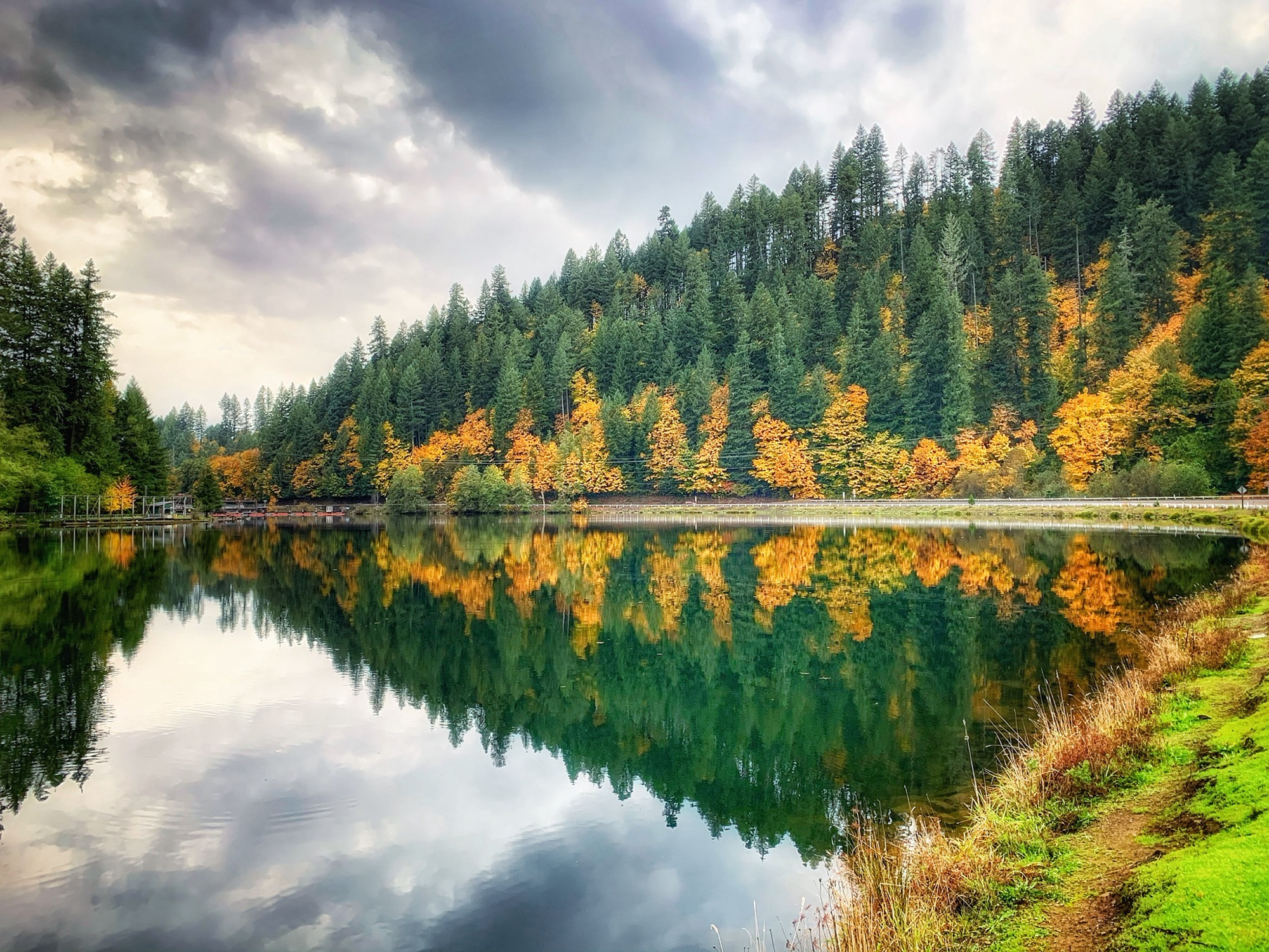
*Saddle Dam

To get to this boat entrance, drive past the town of Blue River and take the next reservoir entrance.
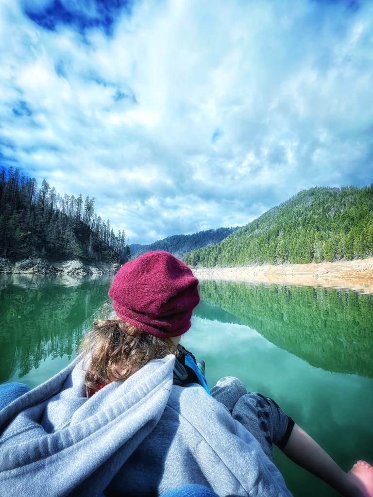
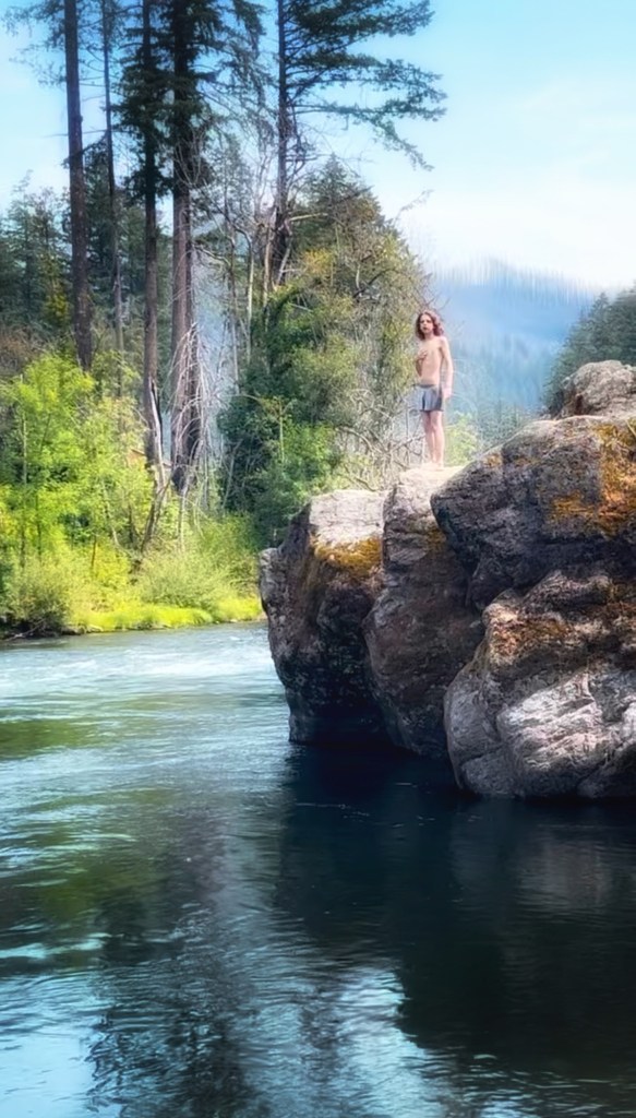
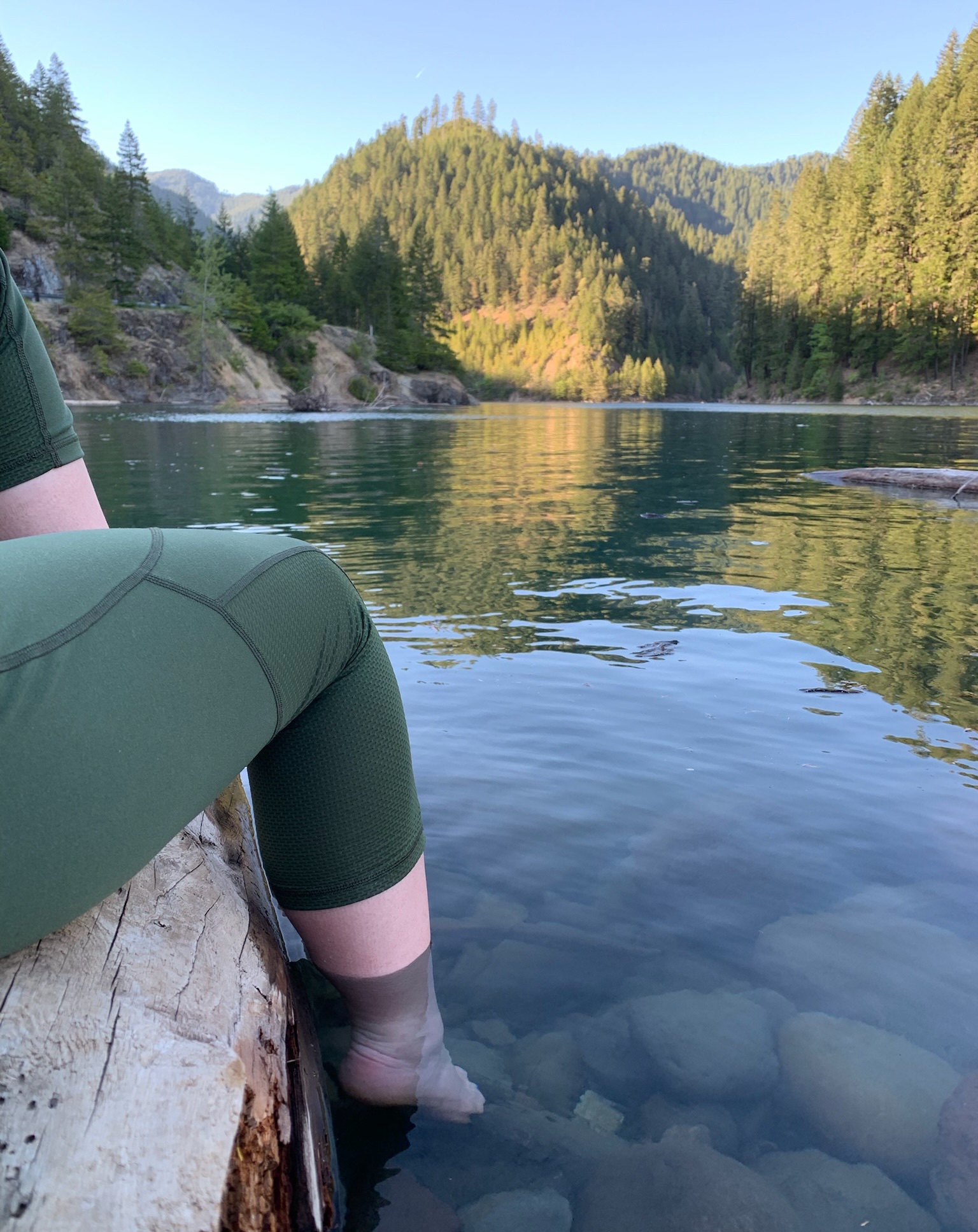
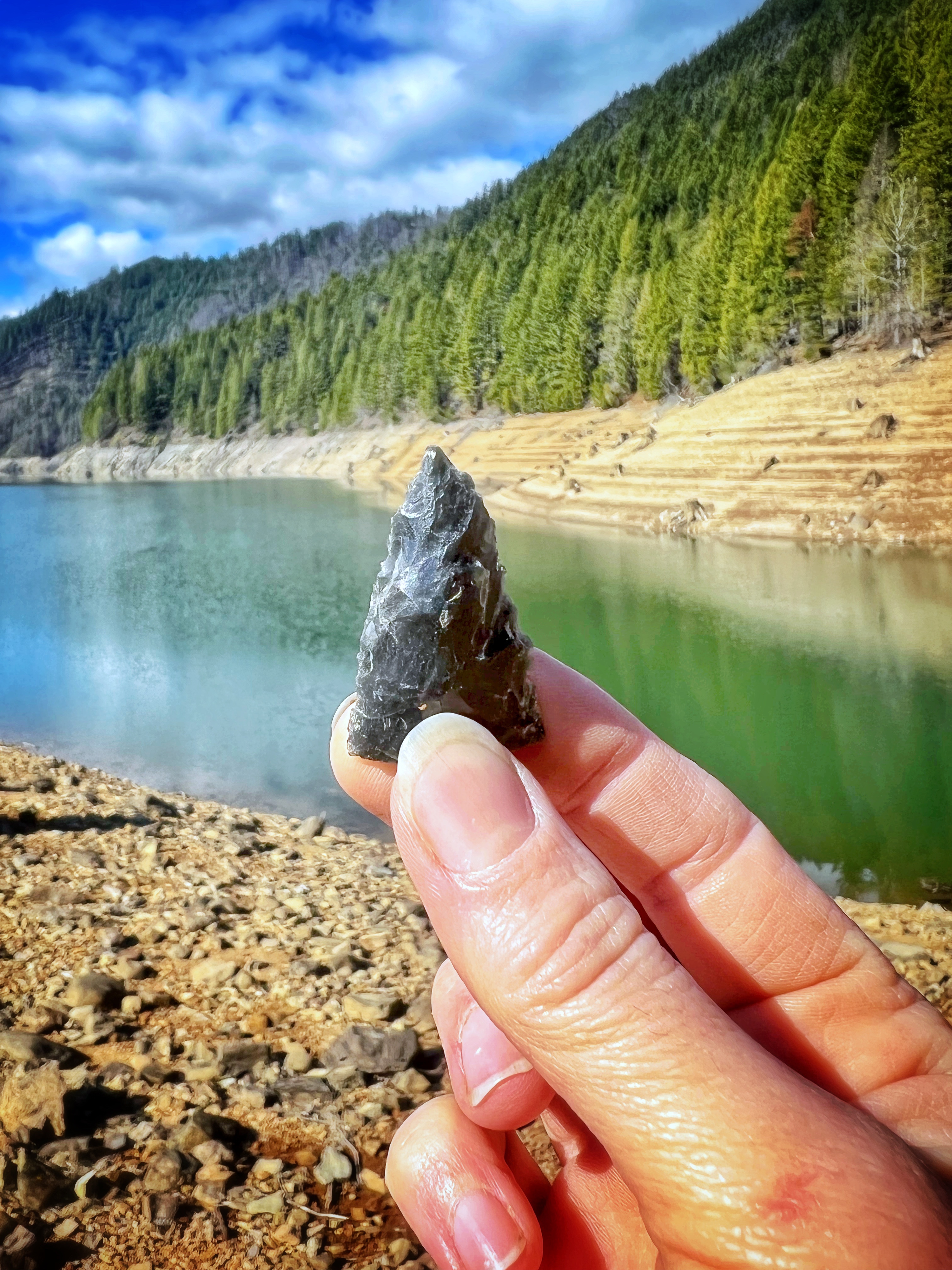
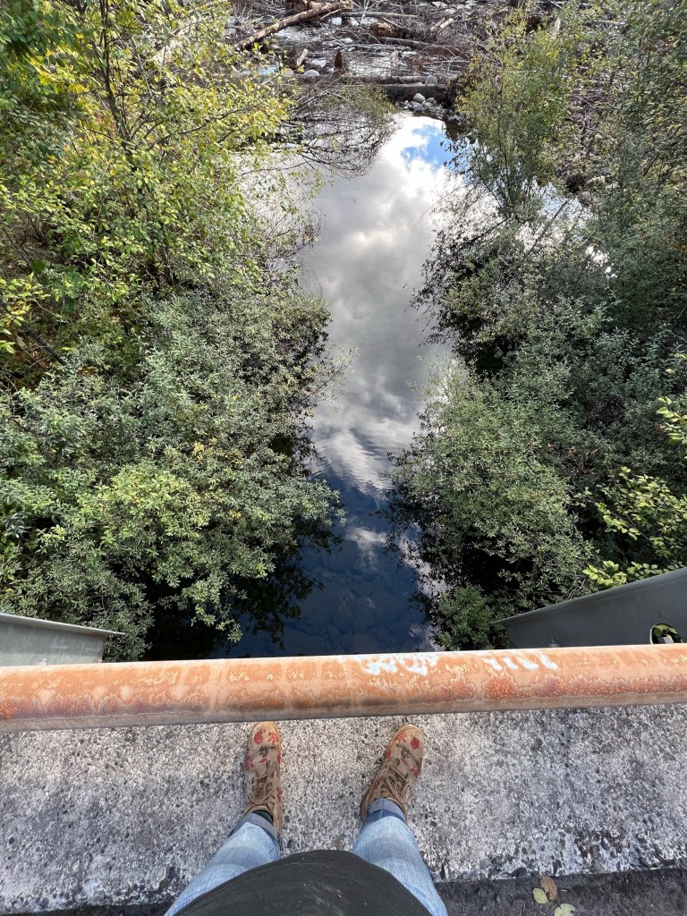
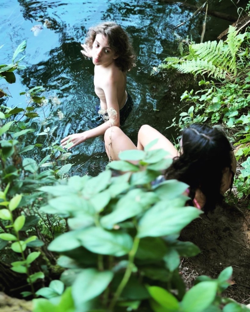
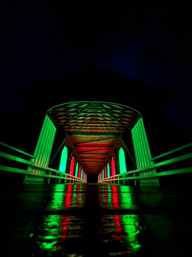
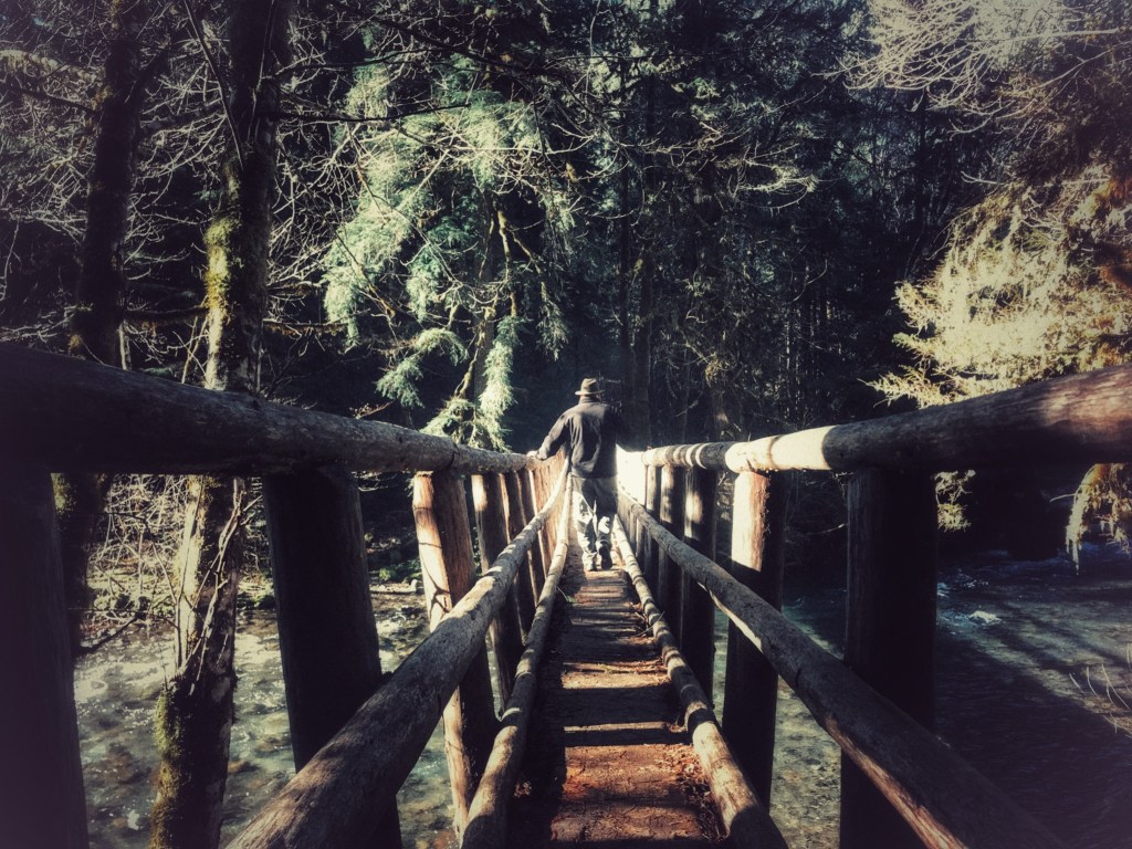
*Mona

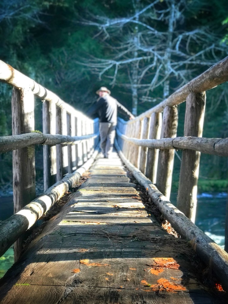
Continue past the boat ramp along the northeastern shore of the reservoir and you’ll find Mona Campground along with an enticing bridge or two (for youthful jumpers, BUT only certain times of the year!), and several long forest access roads.

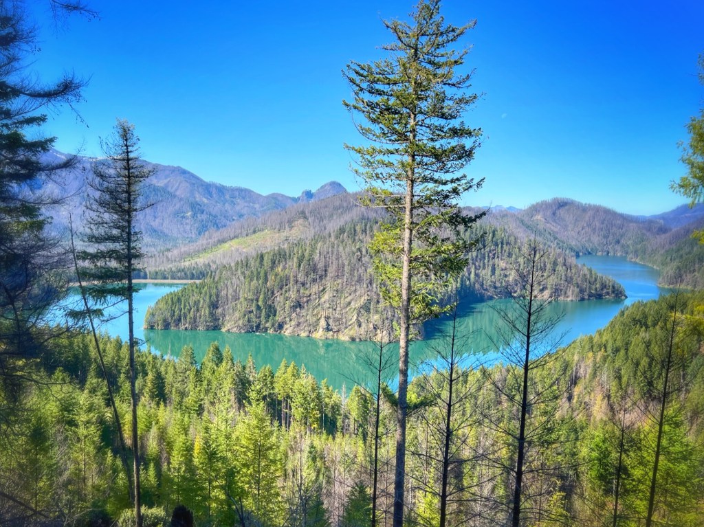
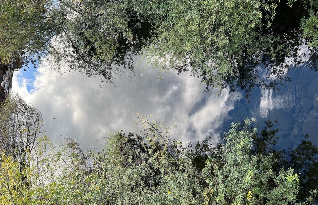
Find the first view at the end of said road, the second from the bridge ~
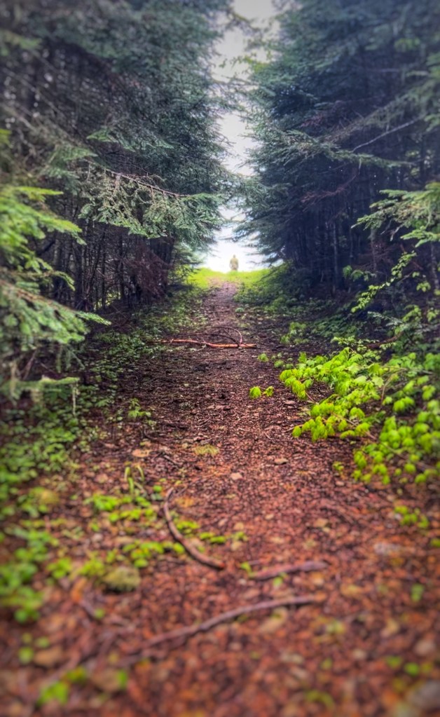
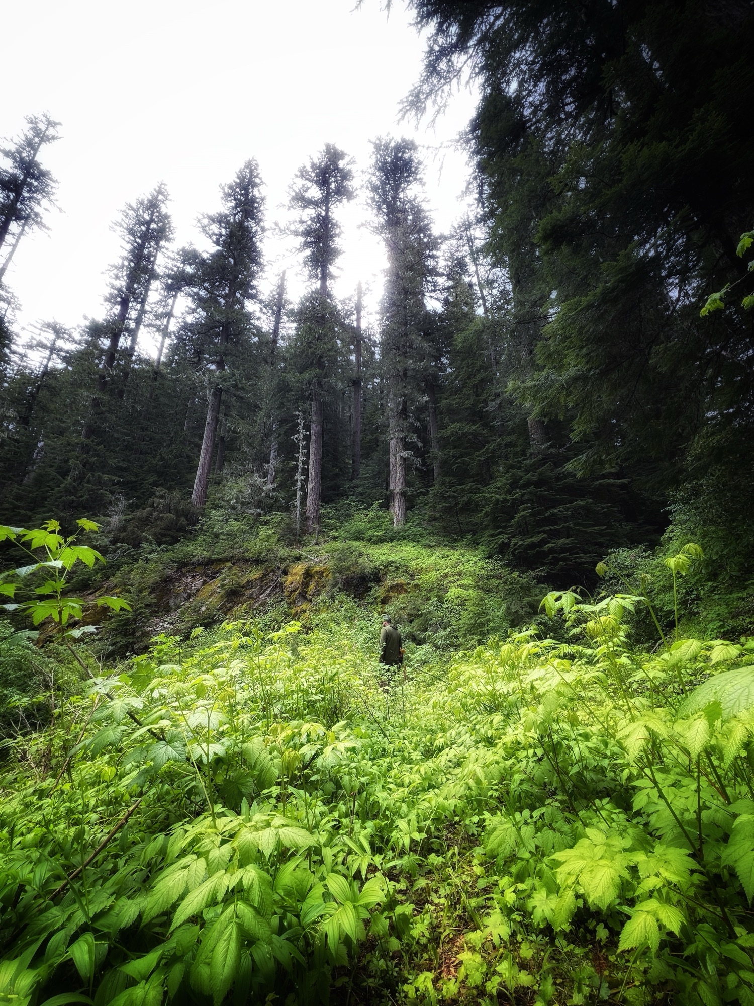
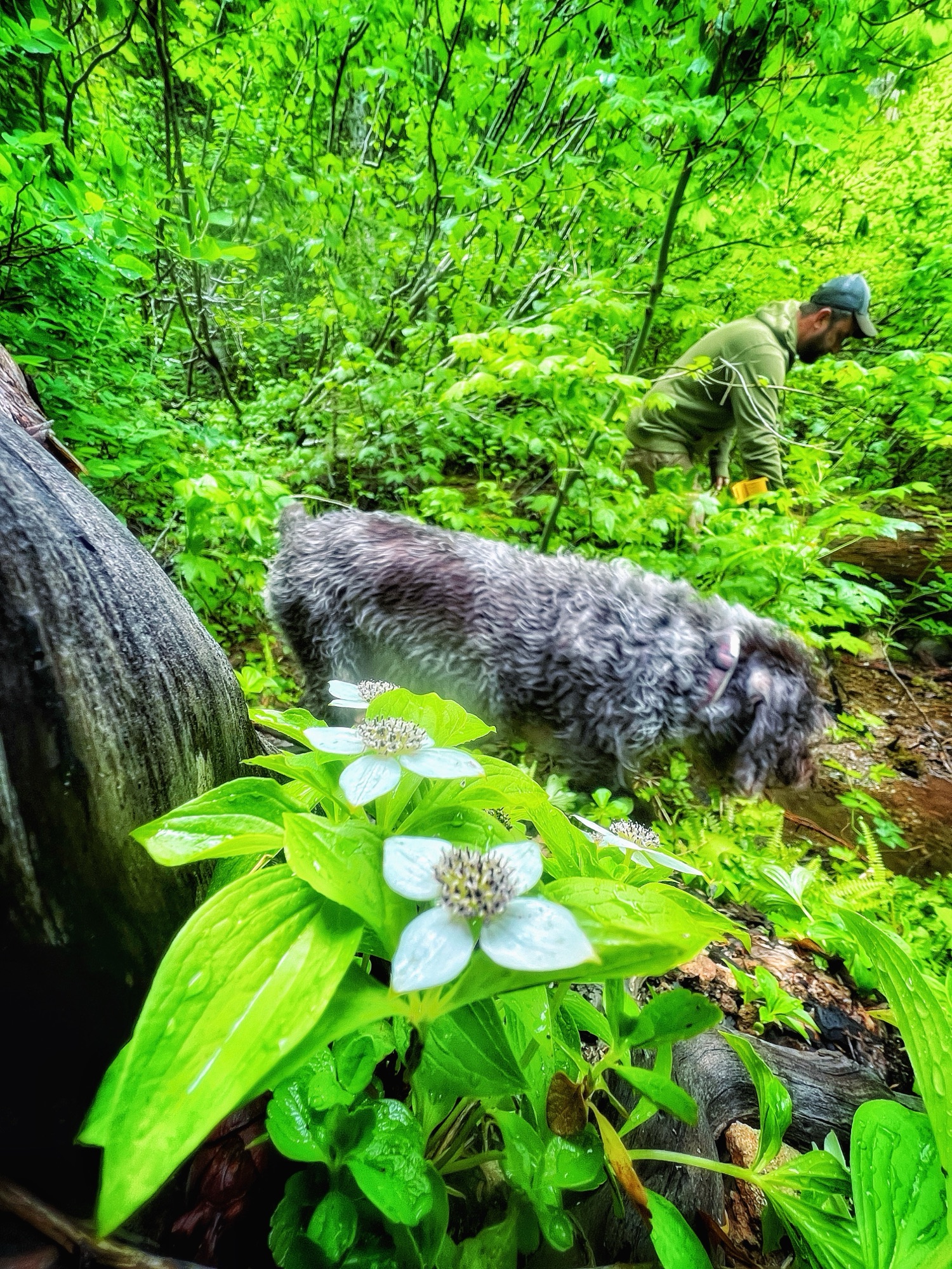
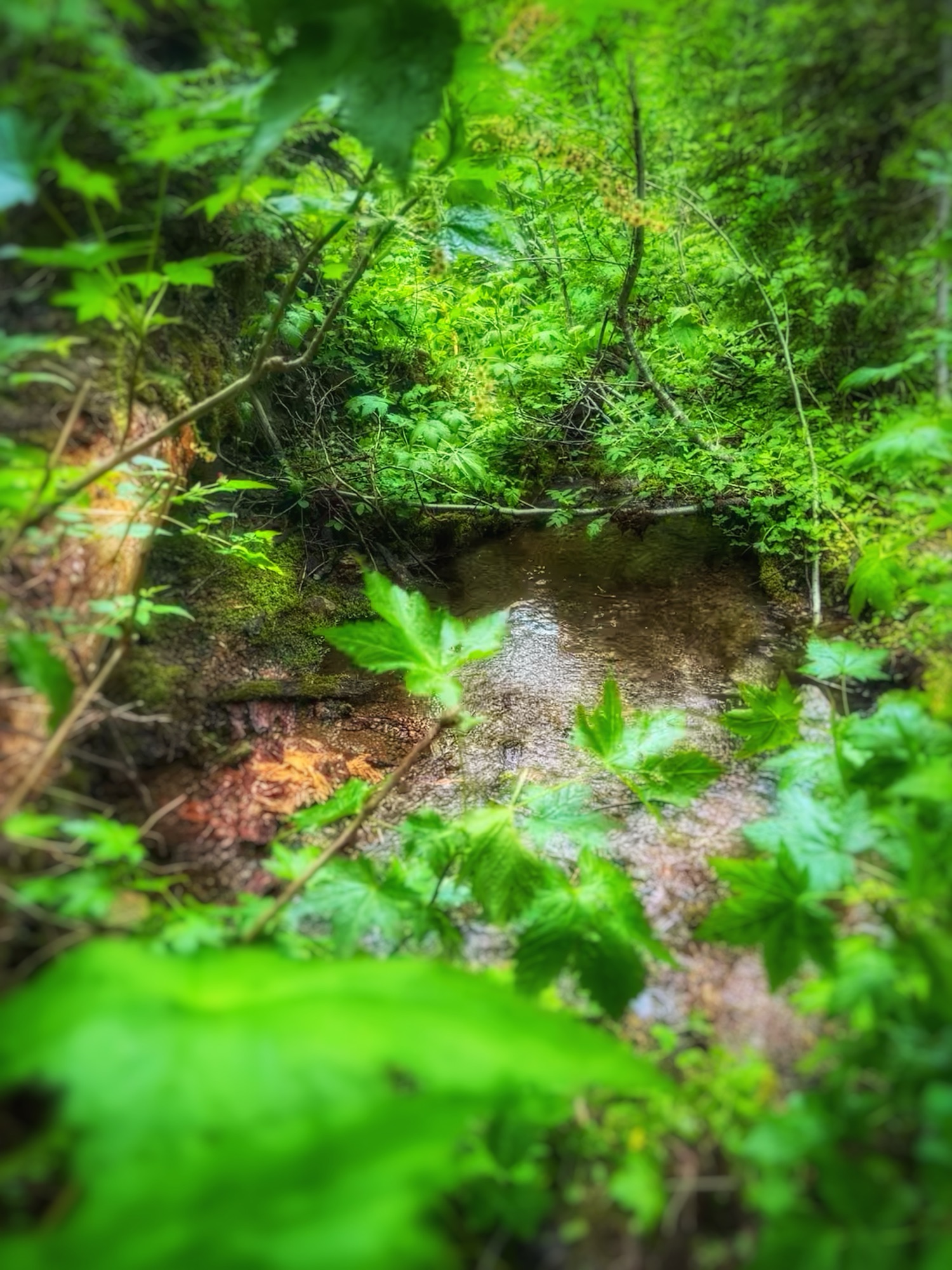
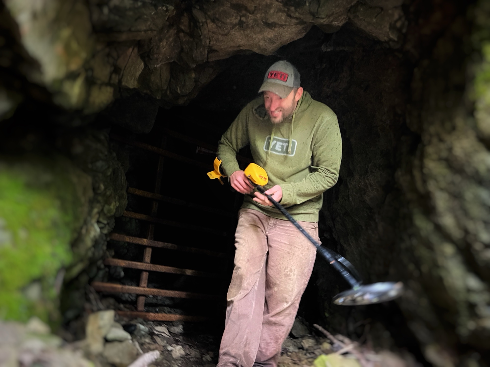
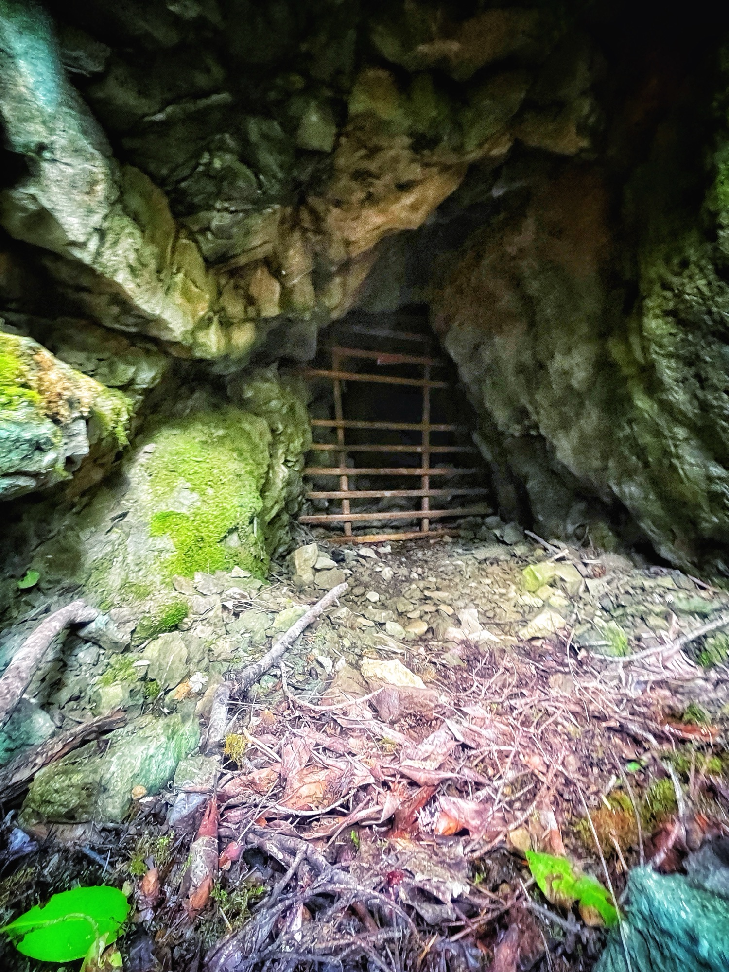
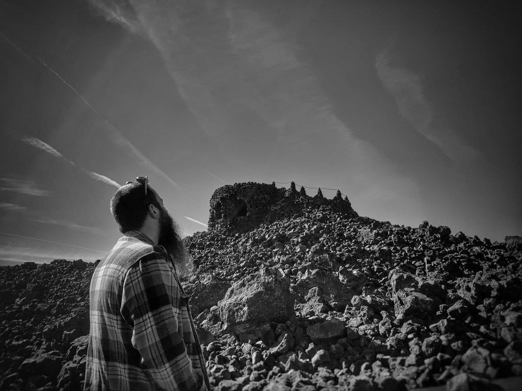
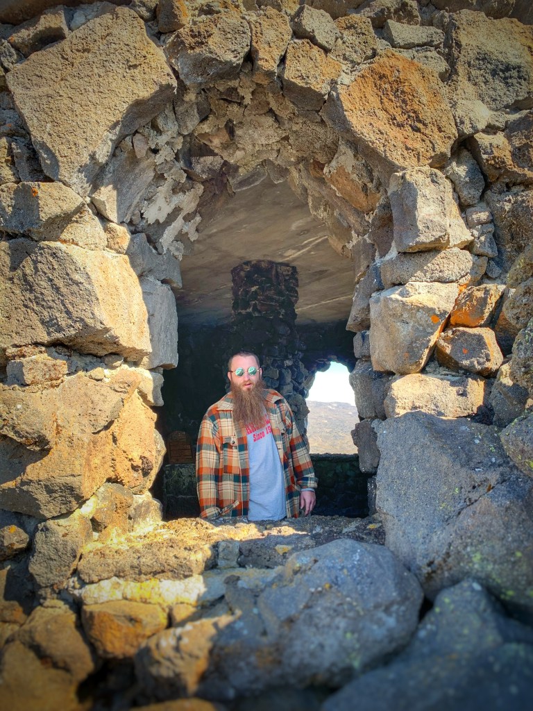
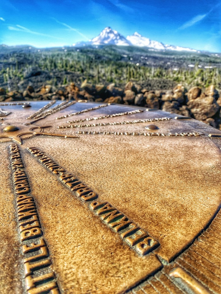
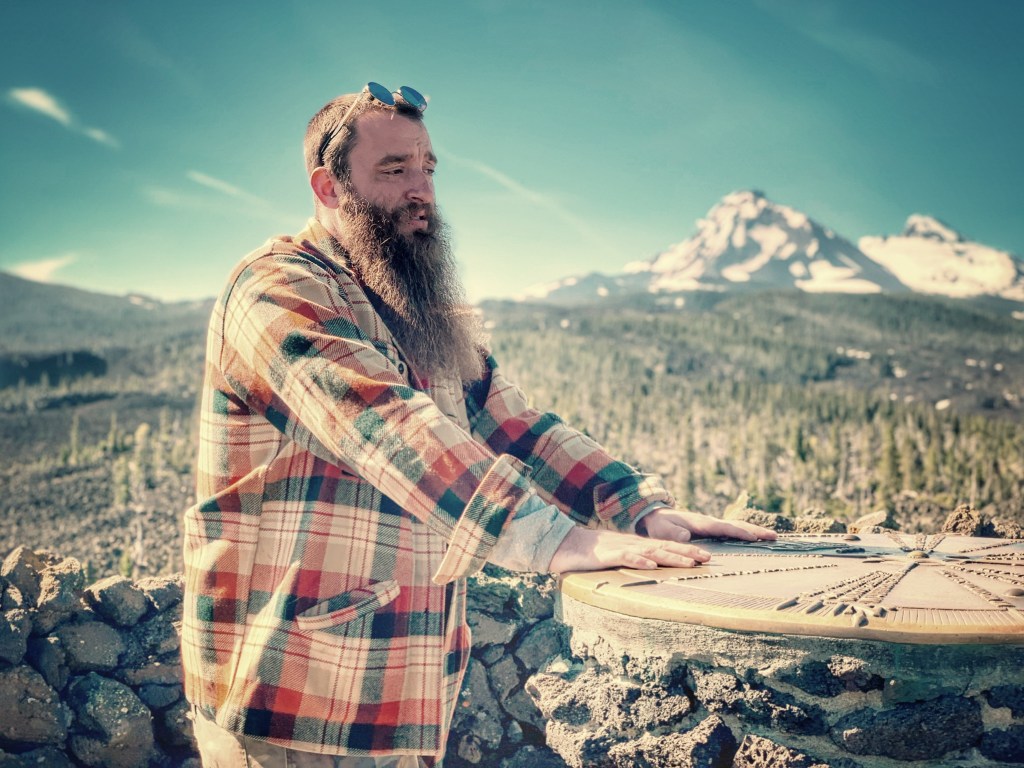
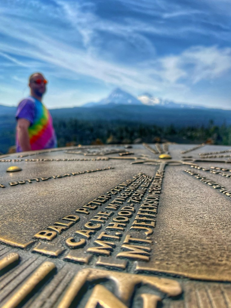
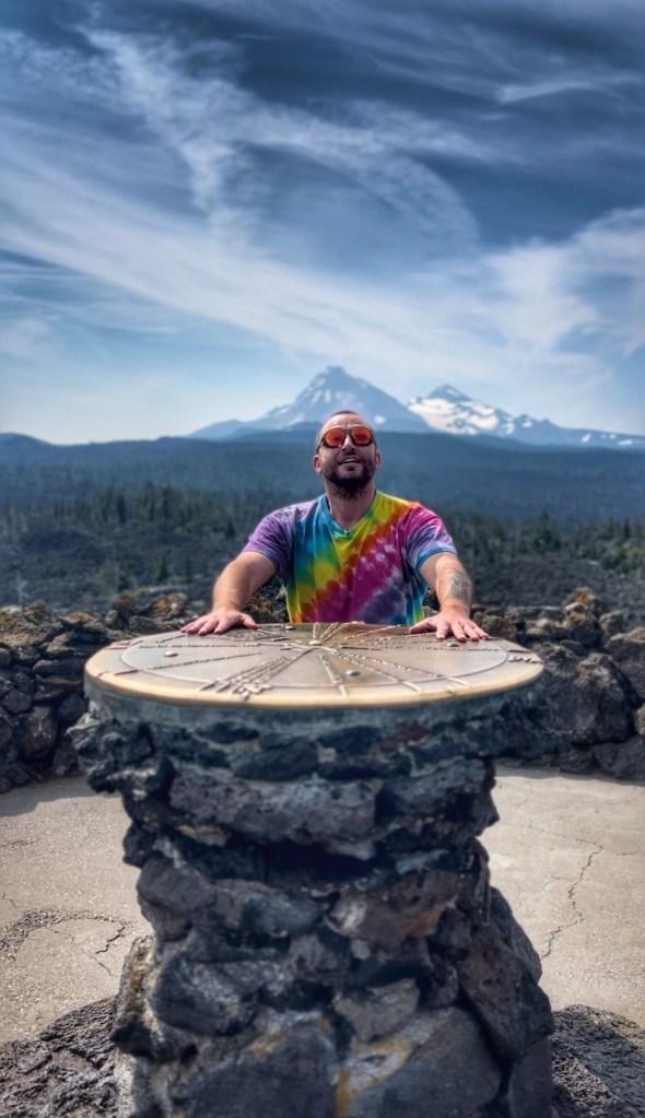
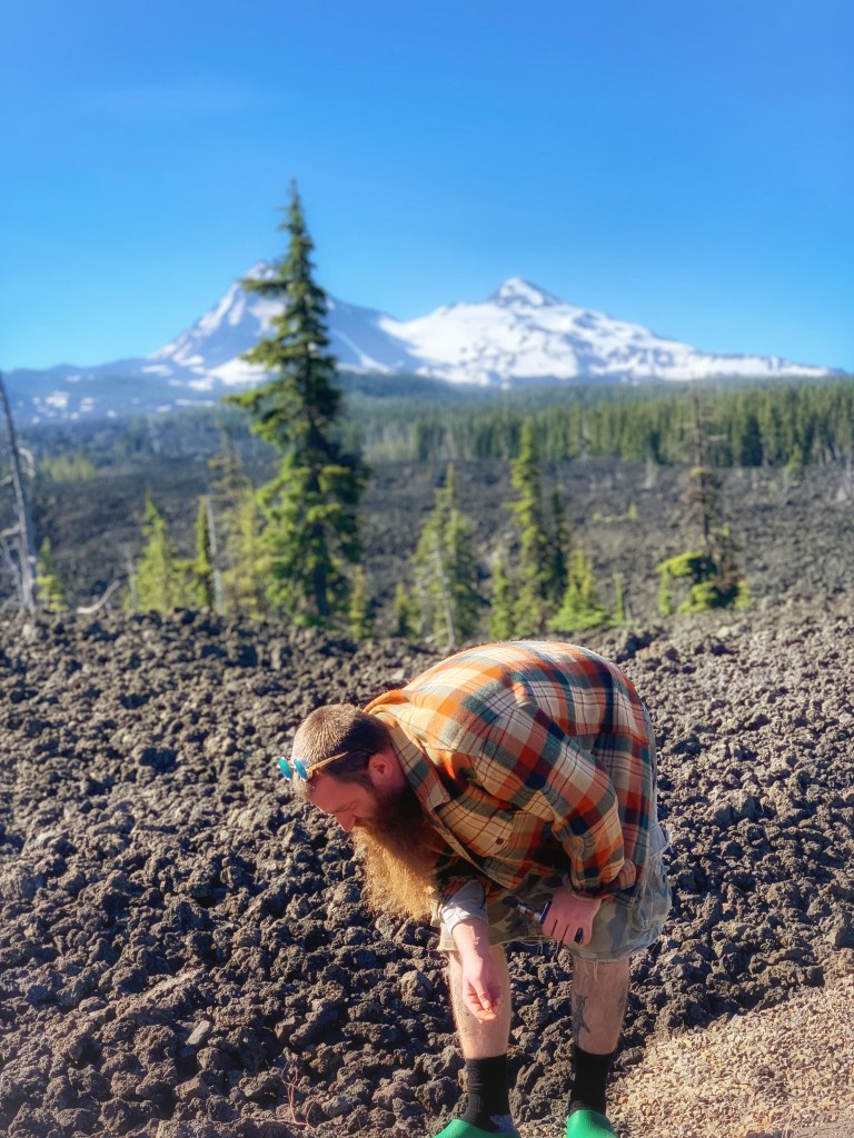
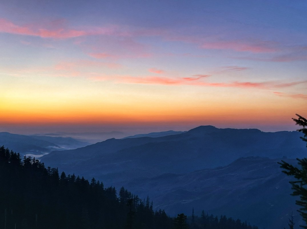
Buck Mountain

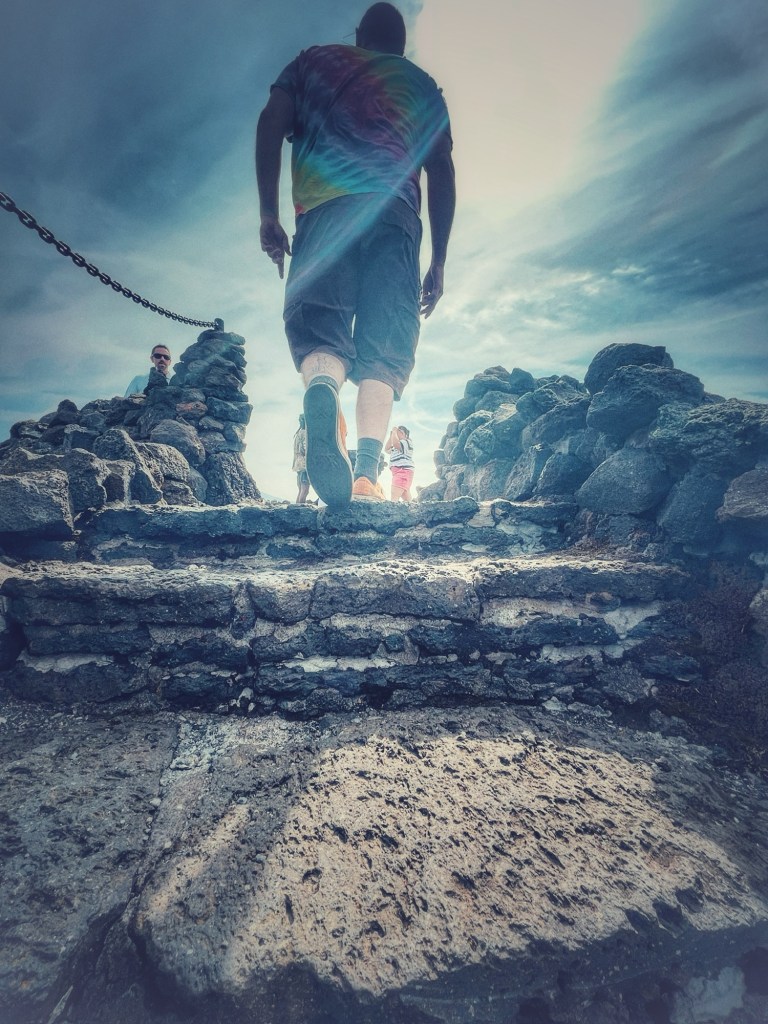
If you’re up for a journey, keep going straight past the turn off to Mona to where the road turns to gravel for a chance at mountain top views and abandoned mines for miles.
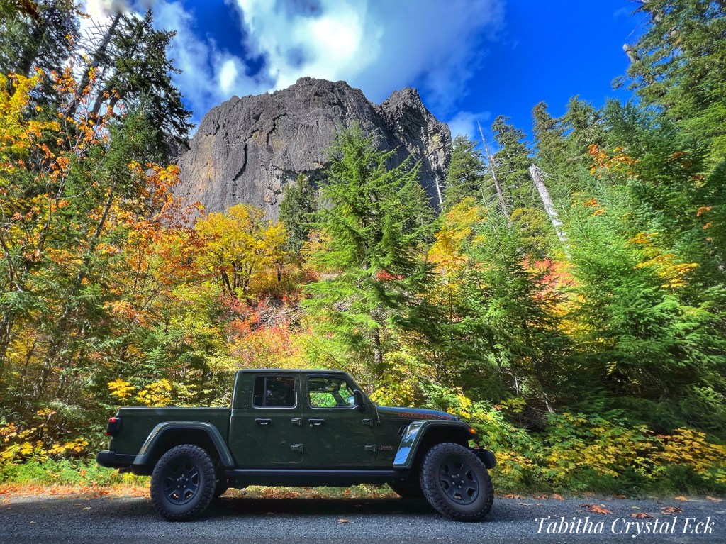
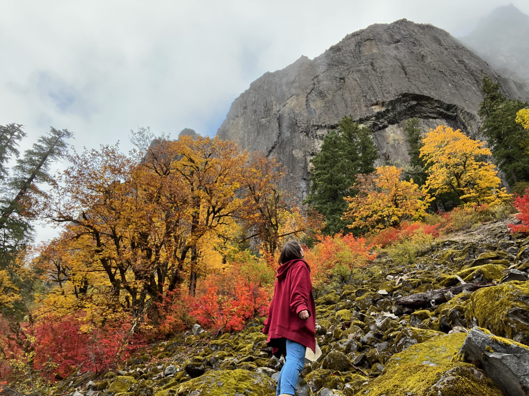
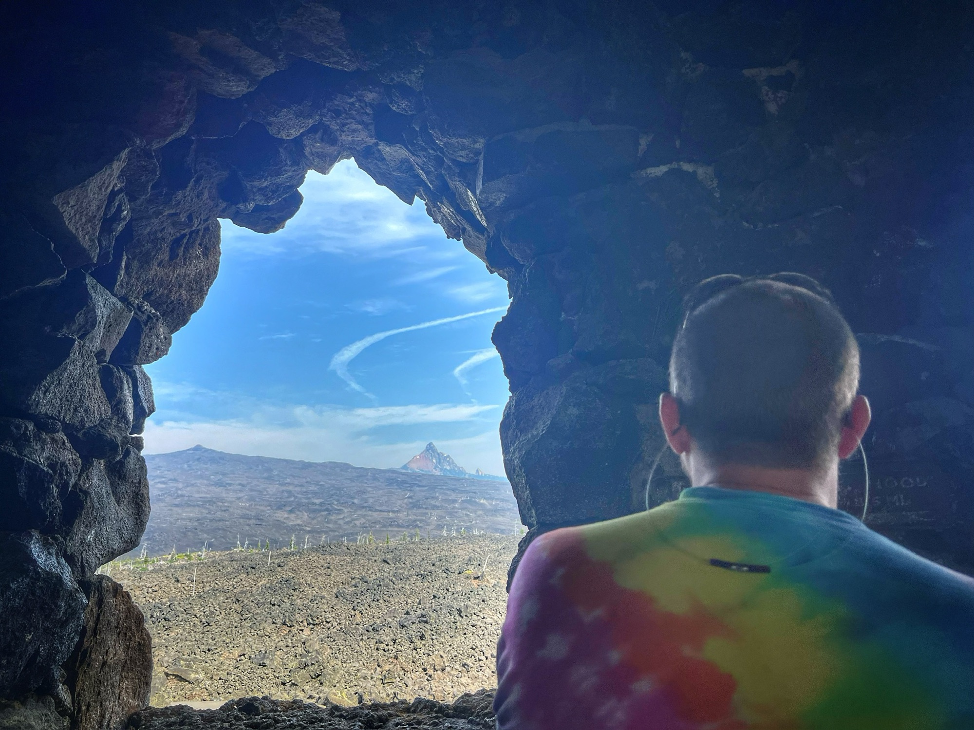
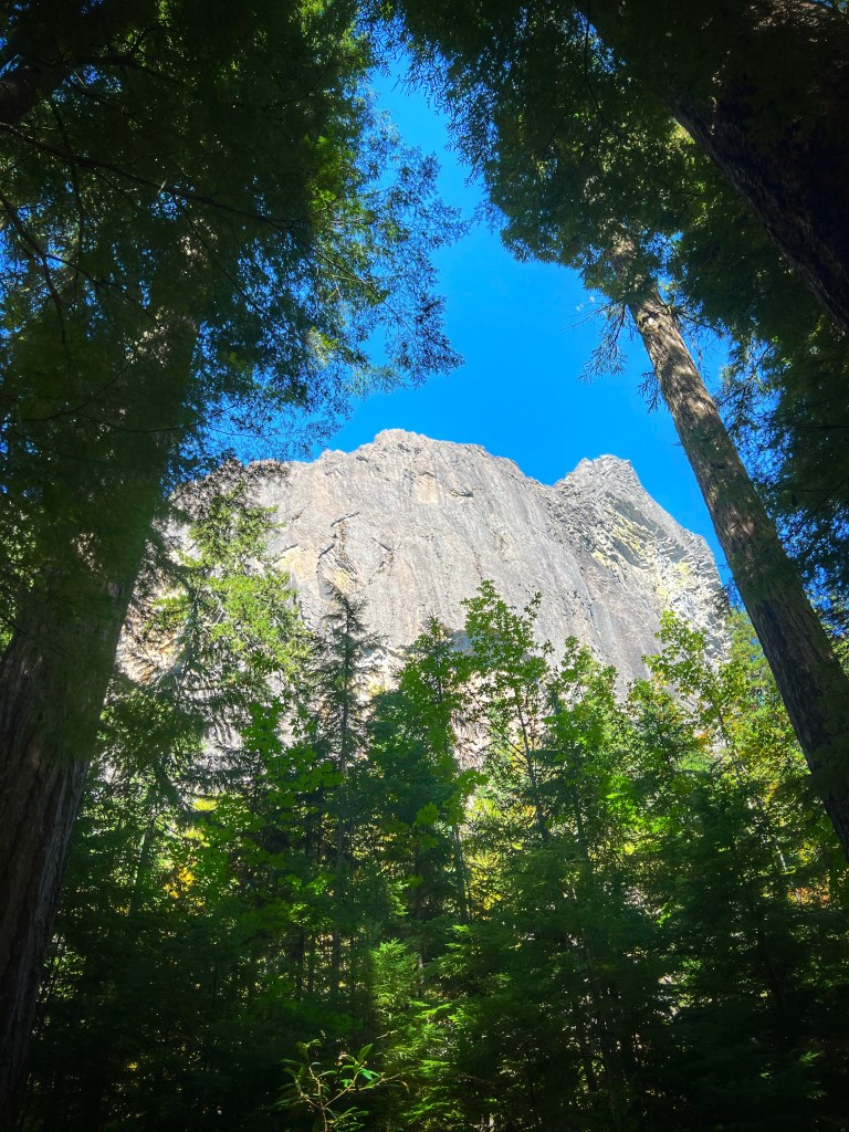
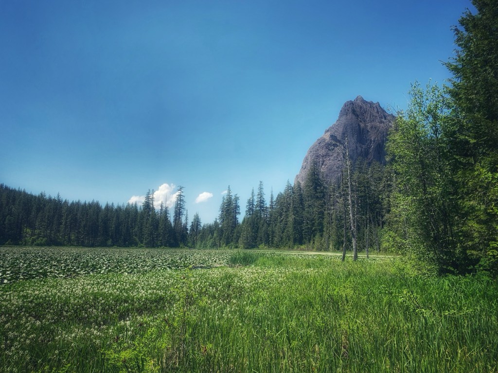
Wolf Rock

Or, go east at the fork in the gravel road and you might stumble past Oregon’s largest monolith, Wolf Rock!
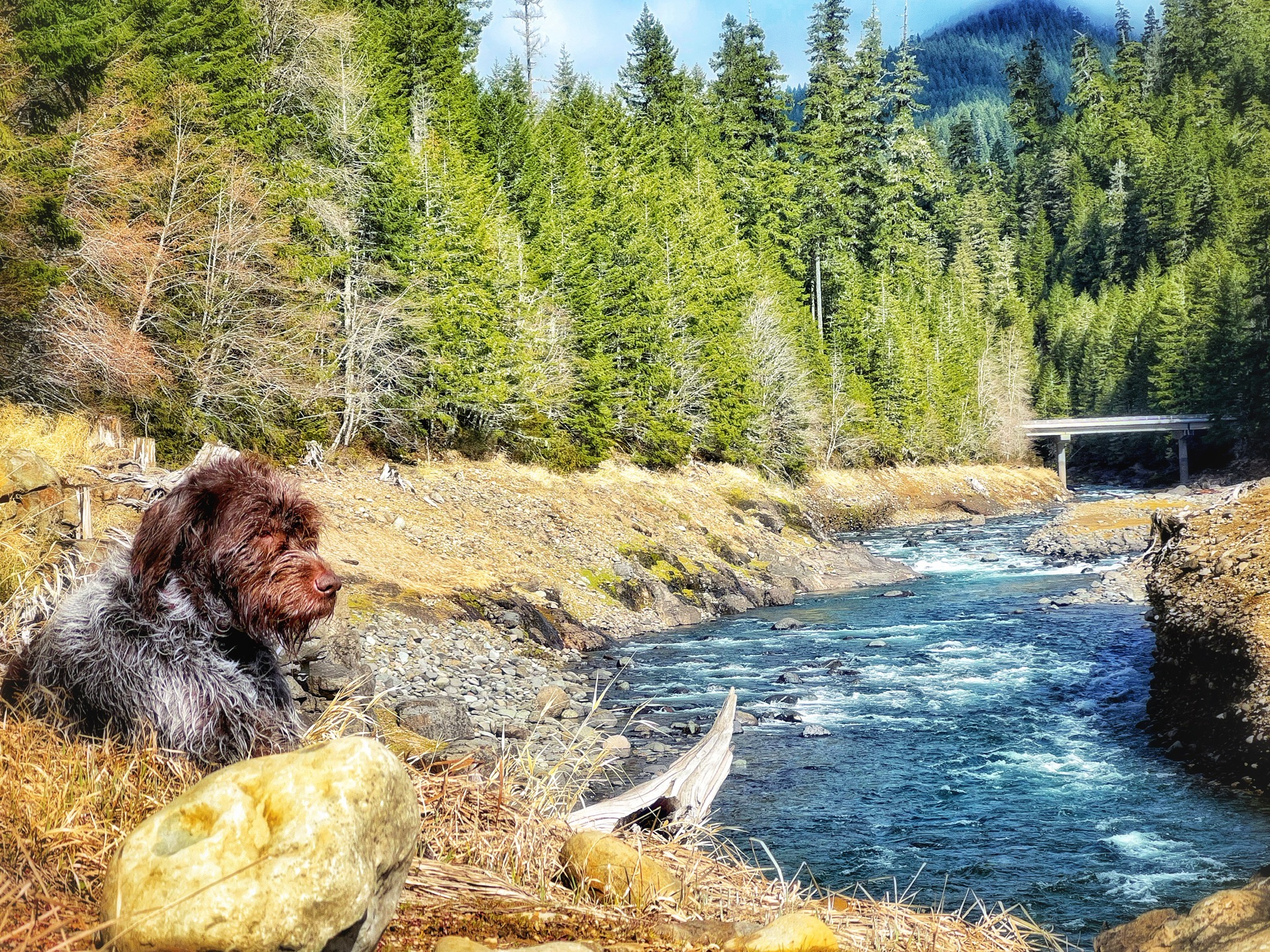
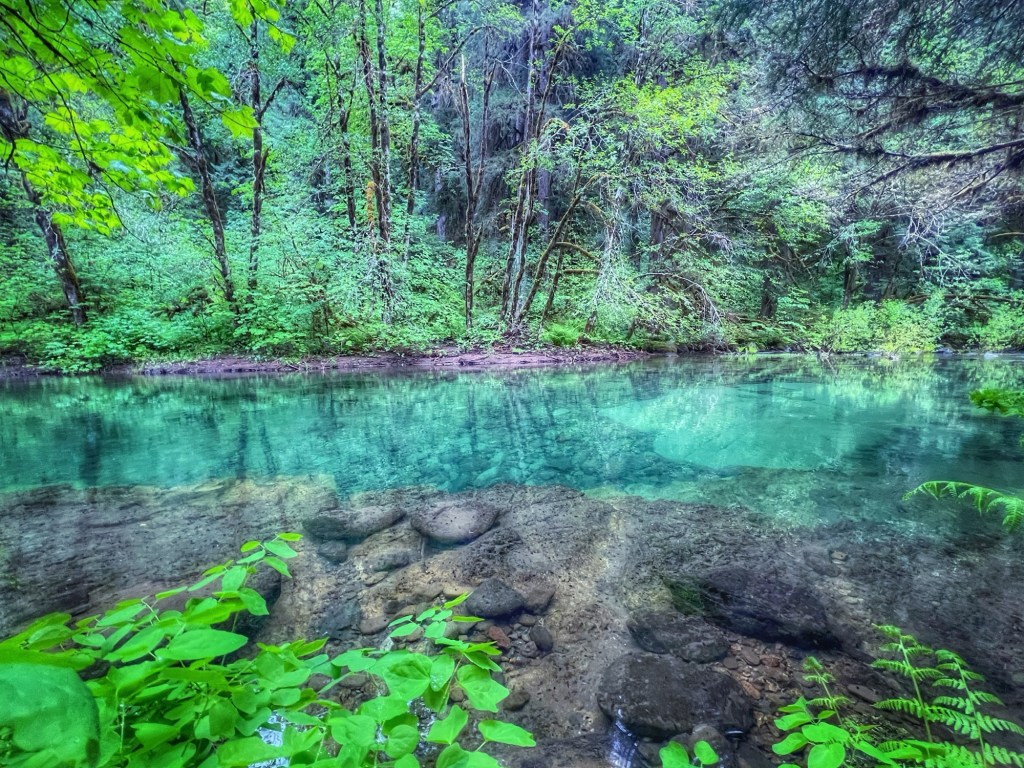
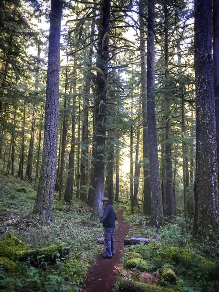
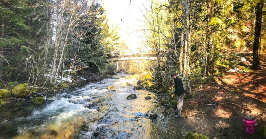
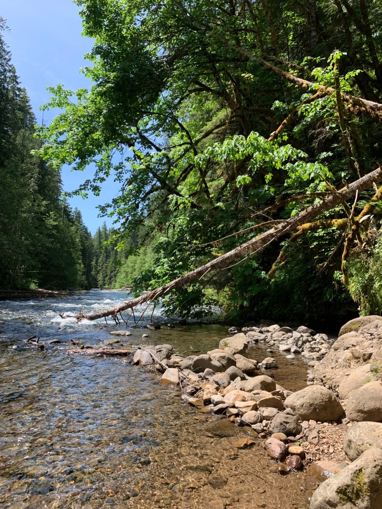
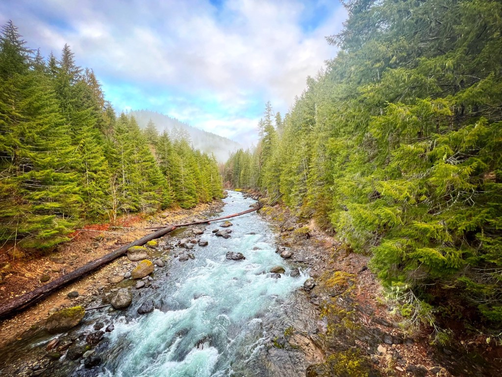
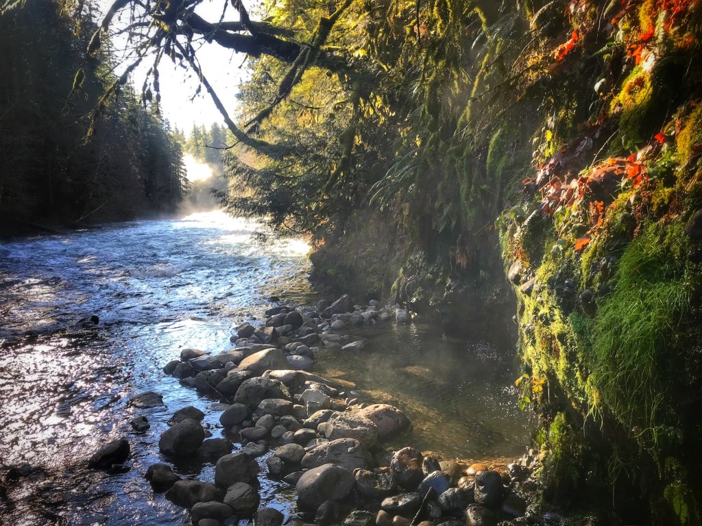
Deer Creek

If you continue east, the long way around bypassing Highway 126, you’ll pop out at Deer Creek and a beautiful section of the McKenzie River Trail!


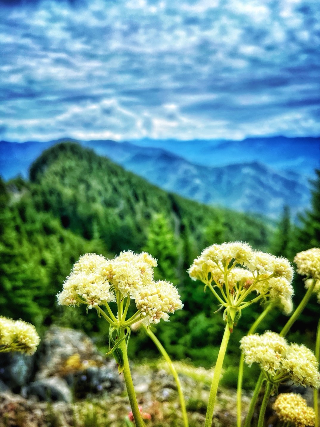
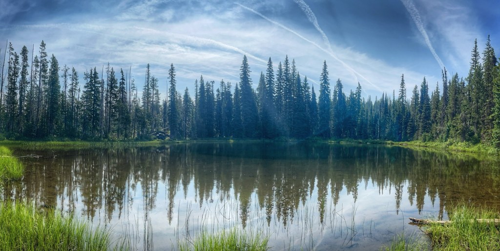
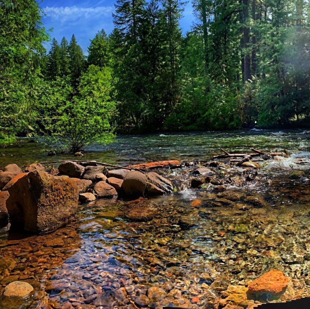
With 90 miles of length, the McKenzie River has a lot to offer.

What’s your favorite spot

McKenzie River Stops ~ Leaburg Reservoir

Nestled just 20 minutes east of Springfield, Oregon, Leaburg Reservoir is a gem along the McKenzie River, beloved by locals for its fishing and swimming spots. But as someone who lives upriver and a long history of commutes into town for work, I’ve discovered a quieter treasure: the breathtaking sunrises that paint the reservoir in hues of blue, purple, and gold.

Sunrise Moments

While afternoon boaters and swimmers soak up the sun on these calm waters, my early morning drives around the river’s bend offer a front-row seat to a spectacle that many travelers miss. They are the kind of moments that makes me roll down my car window, pull over for a quick pic and then linger longer than planned, just to soak it in.


Morning Mists

For an even closer look, I’ll park at the lot near the Leaburg Dam and take a short trail to a rocky shoreline spot. Standing there, with the quiet lapping of water and the faint calls of early birds, feels like stealing a moment of peace before the world wakes up.


Fall Colors

This magical fall capture occurred before the 2020 Holiday Farm fire. How quickly I forget how much lush green growth there was along the river banks!


Playful Hours

And last, but least, we have the park and boat launch just over the Leaburg dam! There’s a huge field back there along with multiple picnic sites along the banks.


McKenzie River Backroads ~ Mile Marker #8

Whether you yearn for solitude amidst the tranquil forest or seek to explore the vibrant urban areas nearby, Willamette National Forest offers something for every traveler.

With an extensive network of over 6,000 miles of roads, this natural wonderland provides abundant opportunities to immerse oneself in its unparalleled beauty of the McKenzie River Valley (blog post).

Mile Marker #8 and Beyond

If you’re up for a trek, try taking one of the old logging roads up behind Blue River Reservoir. Somewhere past Mile Marker #8, the views will just keep you climbing!

As some of the side roads become impassable in a vehicle, the trek can be continued on foot. Just down hill from our usual stop, a surprising creek proved lush and beautiful and an opportunities for a little amateurs gold hunting.

If you persevere and stay on the trail, you might have the chance to find a few gems hidden by time. Case in point, this abandoned mine!

And let’s not forget the flowers you’ll spy on drives during the spring and summer !Bear grass, Rhodies, Larkspur and more can be found at nearly every stop and viewpoint.

McKenzie River Backroads ~ Blue River

Whether you yearn for solitude amidst the tranquil forest or seek to explore the vibrant urban areas nearby, Willamette National Forest offers something for every traveler. With an extensive network of over 6,000 miles of back roads, this natural wonderland provides abundant opportunities to immerse oneself in its unparalleled beauty.

Blue River Road ~ 1500

Nestled within the breathtaking 1.7-million-acre expanse of Willamette National Forest, the captivating Blue River Road 1500 awaits. This picturesque 22-mile route winds through the heart of the forest, inviting outdoor enthusiasts to embark on an unforgettable journey. Located centrally in Oregon, this road serves as a gateway to adventure just up the hill from the majestic Blue River Reservoir (blog post) and Mona Campground (blog post).

As you navigate Blue River Road, you’ll encounter a well-maintained gravel surface. While the road is generally in good condition, be mindful of a few minor potholes. It’s important to exercise caution as you pass through areas affected by fires in both 2020 and 2023, as they may present hazards such as rocks, landslides, and fallen trees even years later. As striking as the stark landscapes might be, these burnt areas have also given rise to new environments, attracting a variety of mushroom (blog post) growth throughout the year.

Hidden Jems

One of the hidden gems along Blue River Road is the magnificent Wolf Rock (blog post). Rising to an elevation of 4,535 feet, this monolith was once the plug to an ancient volcano that has eroded away over time. Its impressive stature and breathtaking landscape attracts only a handful of climbers each year, making it a coveted destination for adventurers seeking solitude and natural wonders.

Nearby, this rather large pond never fails to dazzles though it is without a name so far as we can find.

And keep your eyes open for the remnants of the old logging industry as well as various individual mining claims and artifacts from long ago natives all around the reservoir and backroads (blog post).

Backroad Adventures

Along the road, you’ll discover dispersed camping sites offering rustic charm. While these sites lack amenities like running water and restrooms, they can offer breathtaking views. Buck Mountain (blog post) in particular has some of the best sunset views! Spending a night under the starry sky, surrounded by the untamed beauty of the forest, provides an unparalleled sense of tranquility and serenity.

Or maybe try your luck trekking up one of the many tributary creeks that feed into Blue River and, ultimately, the McKenzie River. They are gorgeous and chilly no matter the time of year;)

And if you exhaust the adventures available ton you on Road 1500, you can wander over to the Deer Creek (blog post) side of the McKenzie River Trail if you take one of those right turns behind the reservoir instead of continuing on to Highway 20 from Blue River Road.

But that’s a whole different story!

Oregon Covered Bridges | Goodpasture

A well-known tourist trek through rural Oregon communities will often include a scenic view of one of our many covered bridges.

One of the most photographed covered bridges in the state, the Goodpasture Bridge near Vida, Oregon spans the McKenzie River.

For those of us living along the McKenzie River, we are treated to the ever-changing faces and seasons of Oregon’s second largest covered bridge.

Spring Growth

At their height the early 1900’s, Oregon had about 600 covered bridges in operation. To this day we still have over 50 – one of the largest collection in the nation – with as many as 20 in Lane County alone.

Sunsets & Moonlight

Though the historical structure of this covered bridge makes for amazing photographs, Oregon’s own McKenzie River with its reflections and the beautiful sunsets throughout the year are quite striking as well.

Adventures

Fishing, boating and swimming adventures are easy to find near Oregon covered bridges! Just down the way from the Goodpasture Bridge is a boat ramp and Leaburg Reservoir not to mention the fact that the bridge spans the iconic McKenzie River itself!

Winter Wonderland

Spring, summer and fall are all wonderful, but some of the best pictures of Oregon’s Covered Bridges happen in the winter with a dusting of snow to set the mood.

**Side note: In pulling together this gallery of Goodpasture Bridge views, I found the snowy pictures above that pre-date the 2020 Holiday Farm Fire. I was struck by the reality that many of us in the McKenzie River Valley share the experience of stumbling across images we’ve captured of ‘before.’ It was an unexpectedly intense trip down memory lane resulting in the gallery you’re viewing now containing a striking array of photos before-and-after the flames and heat dramatically changed the landscape❤️❤️

Christmas Lights

The Goodpasture Bridge is one of a few Oregon Covered Bridges that changes into holiday colors come December. Be careful not to block traffic, but the red and green lights are amazing from every angle.

Lane County is a great place to start, but don’t stop at just one covered bridge on your trek through Oregon.

#pnw #oregoncoveredbridge #tecklandscapes #oregonlife #eckfamilyadventures

Eg

Old McKenzie Highway | Oregon

Take the Scenic Route!

Along Highway 126 in Oregon between Eugene and Three Sisters are incalculable views to take in and trails to explore. If you have time this summer, take a slight detour along the ‘scenic’ route – the Old McKenzie Highway (Hwy 242). The original route through the Cascade Range is closed to cars during the winter, but bicyclists can take advantage of this picturesque trek long before it’s open to motorist.

The Path Well Traveled

Long before the settlers arrived, what eventually became the Old Mckenzie Highway was the regular route through the McKenzie and Santiam passes for Native Americans. Initially, the settlers’ wagons struggled to make it through the lava flows which spread out over 65 square miles. This and the steep terrain resulted in a ‘Lost Wagon Train’ or two over the years before the routes were improved. One trailhead – Scott Trail – follows a potion of the path of the first wagon train to actually make it through the passes.

Stop and . . .

Even with the many trails and view pullouts available to travelers along the Old McKenzie Highway, you simply must stop at the Dee Wright Observatory located amongst the basaltic lava fields. From the top, you have a 360 degree of pure gorgeousness in every direction while the interior provides various windows and peepholes aimed at the mountainous landscape!

Take a moment and appreciate this unique structure built by hand in the 1930s from the native lava rock.


Look Around

The panoramic view of the surrounding mountains can be enjoyed with the popular peak finder atop the observatory which points out the various geographical landmarks in the distance.

On a clear day, you can take in SIX Cascade peaks – The Three Sisters, Mt. Washington, Mt. Jefferson, and Mt. Hood – as well as various crater remnants of a volcano or to. All of these peaks are identified on the view finder up top as well as at each windowsill or peephole within the observatory.


And don’t forget the glaciers! If the snow has melted, check out one of Oregon’s biggest glacier – Collier – on the west side of the North Sister.

Fire & Ice

As you meander through lava beds, lush Oregon forests and crystal clear rivers and lakes of the Old McKenzie Highway, you’ll view one of the highest concentrations of snowcapped volcanoes in the lower 48 states. Along the Old McKenzie Highway volcanoes are quite young by geological standards with activity as recent as 1500 years ago.


And somewhere between fire and ice of volcanoes and glaciers, lies Oregon marsh land! Literally adjacent to lava fields you will find this lush ecosystem complete wild blueberries and ponds galore!


Don’t Miss it

All in all, with so many amazing stops along Highway 126 such as Clear Lake, Blue Pool, or Koosh/Sahalie Falls, choosing the scenic alternative between Eugene and Three Sisters may sounds like landscape overkill. That being said, IT’S WORTH IT!

Next summer, enjoy a unique bit of Oregon and a take a trek up the Old McKenzie Highway.

McKenzie River Stops ~ Deer Creek, Oregon

*Pictures from 2019

Trail Adventures

This section of the McKenzie River Trail is marked by a lovely wooden bridge where Deer Creek flows into the larger river. The trail closely follows the icy waters of the upper McKenzie River only a few miles downriver from the more well-know Blue Pool and Sahalie Falls.

Check out the sights captured by the Wandering Yuncks who trekked in from Blue Pool.

Salmon Restoration

The Deer Creek section of the McKenzie River Trail has under gone significant changes these last few years with periods of closure. Not only has this area weathered a forest fire or two, a long anticipated habitat restoration project has radically changed the watershed in hopes of regenerating the native environment and supporting fish and wildlife.

Deer Creek Hot Springs

Just off the beaten trail, you can visit Deer Creek Hot Springs . . . a very unofficial hot spring one can still occasionally find empty;) During the summer, tourist often find the spot, but only locals make in the winter. Seasonally, the river rock wall is re-built in the spring, gating the warm waters dripping off the hillside into a private pool. When the river levels are high, the icy waters tend to dilute the warmth, so you take your chances visiting in the winter too.

**Local tip – If you enjoy a scenic drive, you can reach Deer Creek from the back with forest gravel roads stretching all the way back to Blue River Reservoir.

#eckriverlife #mckenzierivertrail #oregon #tecklandscapes #pwntravels